Distance from Badin to Kotri
Distance between Badin and Kotri is 95 kilometers (59 miles).
Driving distance from Badin to Kotri is 110 kilometers (68 miles).
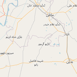
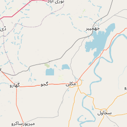
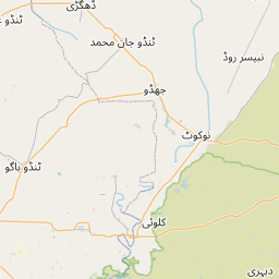
Distance Map Between Badin and Kotri
Badin, Karachi, Pakistan ↔ Kotri, Karachi, Pakistan = 59 miles = 95 km.


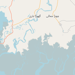
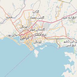
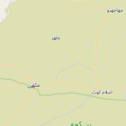


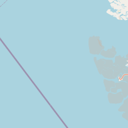

How far is it between Badīn and Kotri
Badin is located in Pakistan with (24.656,68.8384) coordinates and Kotri is located in Pakistan with (25.366,68.3122) coordinates. The calculated flying distance from Badin to Kotri is equal to 59 miles which is equal to 95 km.
If you want to go by car, the driving distance between Badin and Kotri is 110.17 km. If you ride your car with an average speed of 112 kilometers/hour (70 miles/h), travel time will be 00 hours 59 minutes. Please check the avg. speed travel time table on the right for various options.
Difference between fly and go by a car is 15 km.
| City/Place | Latitude and Longitude | GPS Coordinates |
|---|---|---|
| Badin | 24.656, 68.8384 | 24° 39´ 21.5640'' N 68° 50´ 18.2760'' E |
| Kotri | 25.366, 68.3122 | 25° 21´ 57.6000'' N 68° 18´ 43.7760'' E |
Estimated Travel Time Between Badīn and Kotri
| Average Speed | Travel Time |
|---|---|
| 30 mph (48 km/h) | 02 hours 17 minutes |
| 40 mph (64 km/h) | 01 hours 43 minutes |
| 50 mph (80 km/h) | 01 hours 22 minutes |
| 60 mph (97 km/h) | 01 hours 08 minutes |
| 70 mph (112 km/h) | 00 hours 59 minutes |
| 75 mph (120 km/h) | 00 hours 55 minutes |
Related Distances from Badin
| Cities | Distance |
|---|---|
| Badin to Hyderabad 2 | 105 km |
| Badin to Mithi | 141 km |
| Badin to Thatta | 119 km |
| Badin to Mirpur Khas | 129 km |
| Badin to Matli | 54 km |
Related Distances to Kotri
| Cities | Distance |
|---|---|
| Hyderabad 2 to Kotri | 8 km |
| Dadu to Kotri | 192 km |
| Bhit Shah to Kotri | 64 km |
| Khairpur Nathan Shah to Kotri | 234 km |
| Gambat to Kotri | 279 km |