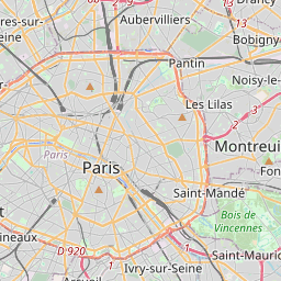
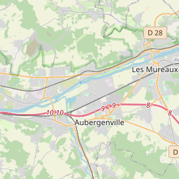
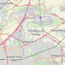
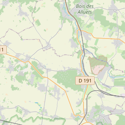
Distance from Bagnolet to Cergy
Distance between Bagnolet and Cergy is 31 kilometers (19 miles).
Driving distance from Bagnolet to Cergy is 43 kilometers (27 miles).
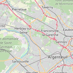
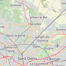
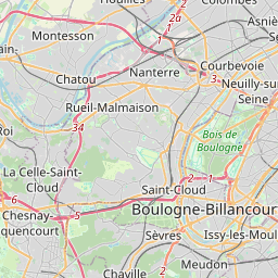
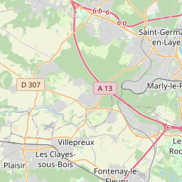
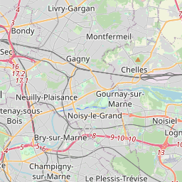
Distance Map Between Bagnolet and Cergy
Bagnolet, Paris, France ↔ Cergy, Paris, France = 19 miles = 31 km.


How far is it between Bagnolet and Cergy
Bagnolet is located in France with (48.8667,2.4167) coordinates and Cergy is located in France with (49.0365,2.0761) coordinates. The calculated flying distance from Bagnolet to Cergy is equal to 19 miles which is equal to 31 km.
If you want to go by car, the driving distance between Bagnolet and Cergy is 43.25 km. If you ride your car with an average speed of 112 kilometers/hour (70 miles/h), travel time will be 00 hours 23 minutes. Please check the avg. speed travel time table on the right for various options.
Difference between fly and go by a car is 12 km.
| City/Place | Latitude and Longitude | GPS Coordinates |
|---|---|---|
| Bagnolet | 48.8667, 2.4167 | 48° 52´ 0.0120'' N 2° 25´ 0.0120'' E |
| Cergy | 49.0365, 2.0761 | 49° 2´ 11.2200'' N 2° 4´ 34.0680'' E |
Estimated Travel Time Between Bagnolet and Cergy
| Average Speed | Travel Time |
|---|---|
| 30 mph (48 km/h) | 00 hours 54 minutes |
| 40 mph (64 km/h) | 00 hours 40 minutes |
| 50 mph (80 km/h) | 00 hours 32 minutes |
| 60 mph (97 km/h) | 00 hours 26 minutes |
| 70 mph (112 km/h) | 00 hours 23 minutes |
| 75 mph (120 km/h) | 00 hours 21 minutes |
Related Distances from Bagnolet
| Cities | Distance |
|---|---|
| Bagnolet to Pantin | 6 km |
| Bagnolet to Fontainebleau | 73 km |
| Bagnolet to Garges Les Gonesse | 25 km |
| Bagnolet to Villejuif | 12 km |
| Bagnolet to Rueil Malmaison | 23 km |
Related Distances to Cergy
| Cities | Distance |
|---|---|
| Argenteuil to Cergy | 21 km |
| Bourg La Reine to Cergy | 61 km |
| Antony to Cergy | 60 km |
| Carrieres Sous Poissy to Cergy | 13 km |
| Bois Colombes to Cergy | 26 km |