Distance from Bago to Kollam
Distance between Bago and Kollam is 2348 kilometers (1459 miles).
Driving distance from Bago to Kollam is 4931 kilometers (3064 miles).
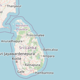
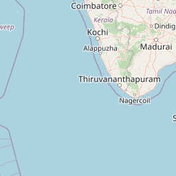
Distance Map Between Bago and Kollam
Bago, Myanmar ↔ Kollam, Thiruvananthapuram, India = 1459 miles = 2348 km.


How far is it between Bago and Kollam
Bago is located in Myanmar with (17.3352,96.4814) coordinates and Kollam is located in India with (8.8811,76.5847) coordinates. The calculated flying distance from Bago to Kollam is equal to 1459 miles which is equal to 2348 km.
If you want to go by car, the driving distance between Bago and Kollam is 4930.76 km. If you ride your car with an average speed of 112 kilometers/hour (70 miles/h), travel time will be 44 hours 01 minutes. Please check the avg. speed travel time table on the right for various options.
Difference between fly and go by a car is 2583 km.
| City/Place | Latitude and Longitude | GPS Coordinates |
|---|---|---|
| Bago | 17.3352, 96.4814 | 17° 20´ 6.7560'' N 96° 28´ 52.8600'' E |
| Kollam | 8.8811, 76.5847 | 8° 52´ 52.0680'' N 76° 35´ 4.8840'' E |
Estimated Travel Time Between Bago and Kollam
| Average Speed | Travel Time |
|---|---|
| 30 mph (48 km/h) | 102 hours 43 minutes |
| 40 mph (64 km/h) | 77 hours 02 minutes |
| 50 mph (80 km/h) | 61 hours 38 minutes |
| 60 mph (97 km/h) | 50 hours 49 minutes |
| 70 mph (112 km/h) | 44 hours 01 minutes |
| 75 mph (120 km/h) | 41 hours 05 minutes |
Related Distances from Bago
| Cities | Distance |
|---|---|
| Bago to Delhi | 3496 km |
| Bago to Bangalore | 4429 km |
| Bago to Hyderabad | 3952 km |
| Bago to Kolkata | 2558 km |
| Bago to Thiruvananthapuram | 4968 km |
Related Distances to Kollam
| Cities | Distance |
|---|---|
| Mandalay to Kollam | 4413 km |
| Nay Pyi Taw to Kollam | 4647 km |
| Bago to Kollam | 4931 km |
| Pathein to Kollam | 4982 km |
| Sittwe to Kollam | 4994 km |