Distance from Bago to Tiruvalla
Distance between Bago and Tiruvalla is 2326 kilometers (1445 miles).
Driving distance from Bago to Tiruvalla is 4895 kilometers (3042 miles).
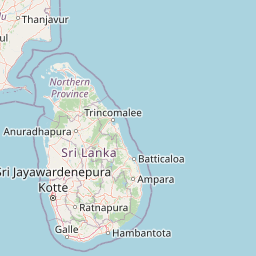
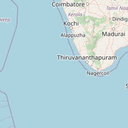
Distance Map Between Bago and Tiruvalla
Bago, Myanmar ↔ Tiruvalla, Thiruvananthapuram, India = 1445 miles = 2326 km.


How far is it between Bago and Tiruvalla
Bago is located in Myanmar with (17.3352,96.4814) coordinates and Tiruvalla is located in India with (9.3816,76.5749) coordinates. The calculated flying distance from Bago to Tiruvalla is equal to 1445 miles which is equal to 2326 km.
If you want to go by car, the driving distance between Bago and Tiruvalla is 4894.98 km. If you ride your car with an average speed of 112 kilometers/hour (70 miles/h), travel time will be 43 hours 42 minutes. Please check the avg. speed travel time table on the right for various options.
Difference between fly and go by a car is 2569 km.
| City/Place | Latitude and Longitude | GPS Coordinates |
|---|---|---|
| Bago | 17.3352, 96.4814 | 17° 20´ 6.7560'' N 96° 28´ 52.8600'' E |
| Tiruvalla | 9.3816, 76.5749 | 9° 22´ 53.7600'' N 76° 34´ 29.6040'' E |
Estimated Travel Time Between Bago and Tiruvalla
| Average Speed | Travel Time |
|---|---|
| 30 mph (48 km/h) | 101 hours 58 minutes |
| 40 mph (64 km/h) | 76 hours 29 minutes |
| 50 mph (80 km/h) | 61 hours 11 minutes |
| 60 mph (97 km/h) | 50 hours 27 minutes |
| 70 mph (112 km/h) | 43 hours 42 minutes |
| 75 mph (120 km/h) | 40 hours 47 minutes |
Related Distances from Bago
| Cities | Distance |
|---|---|
| Bago to Adur | 4914 km |
| Bago to Ambasamudram | 4878 km |
| Bago to Anaimalai | 4723 km |
| Bago to Andippatti | 4712 km |
| Bago to Anthiyur | 4554 km |
| Bago to Arantangi | 4677 km |
| Bago to Ariyalur | 4513 km |
| Bago to Attingal | 4927 km |
| Bago to Attur | 4498 km |
| Bago to Avinashi | 4615 km |
Related Distances to Tiruvalla
| Cities | Distance |
|---|---|
| Bago to Tiruvalla | 4895 km |
| Yangon to Tiruvalla | 4958 km |
| Nay Pyi Taw to Tiruvalla | 4598 km |
| Pathein to Tiruvalla | 4932 km |
| Mandalay to Tiruvalla | 4415 km |