Distance from Baiquan to Zhaodong
Distance between Baiquan and Zhaodong is 171 kilometers (106 miles).
Driving distance from Baiquan to Zhaodong is 223 kilometers (139 miles).
Distance Map Between Baiquan and Zhaodong
Baiquan, Harbin, China ↔ Zhaodong, Harbin, China = 106 miles = 171 km.
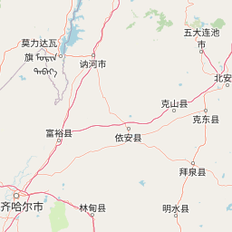
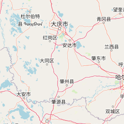

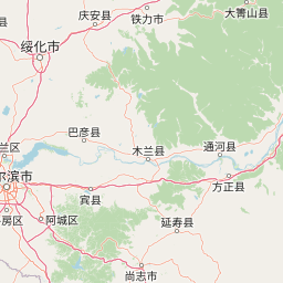


How far is it between Baiquan and Zhaodong
Baiquan is located in China with (47.6061,126.0848) coordinates and Zhaodong is located in China with (46.0677,125.9826) coordinates. The calculated flying distance from Baiquan to Zhaodong is equal to 106 miles which is equal to 171 km.
If you want to go by car, the driving distance between Baiquan and Zhaodong is 223.17 km. If you ride your car with an average speed of 112 kilometers/hour (70 miles/h), travel time will be 01 hours 59 minutes. Please check the avg. speed travel time table on the right for various options.
Difference between fly and go by a car is 52 km.
| City/Place | Latitude and Longitude | GPS Coordinates |
|---|---|---|
| Baiquan | 47.6061, 126.0848 | 47° 36´ 21.7800'' N 126° 5´ 5.3160'' E |
| Zhaodong | 46.0677, 125.9826 | 46° 4´ 3.7560'' N 125° 58´ 57.4680'' E |
Estimated Travel Time Between Baiquan and Zhaodong
| Average Speed | Travel Time |
|---|---|
| 30 mph (48 km/h) | 04 hours 38 minutes |
| 40 mph (64 km/h) | 03 hours 29 minutes |
| 50 mph (80 km/h) | 02 hours 47 minutes |
| 60 mph (97 km/h) | 02 hours 18 minutes |
| 70 mph (112 km/h) | 01 hours 59 minutes |
| 75 mph (120 km/h) | 01 hours 51 minutes |
Related Distances from Baiquan
| Cities | Distance |
|---|---|
| Baiquan to Wuchang | 406 km |
| Baiquan to Lanxi 2 | 163 km |
| Baiquan to Hailin | 598 km |
| Baiquan to Heihe | 351 km |
| Baiquan to Hailun | 77 km |
Related Distances to Zhaodong
| Cities | Distance |
|---|---|
| Tahe to Zhaodong | 915 km |
| Jixi to Zhaodong | 522 km |
| Fuyuan to Zhaodong | 837 km |
| Fendou 2 to Zhaodong | 533 km |
| Acheng to Zhaodong | 122 km |