Distance from Bali to Goyerkata
Distance between Bali and Goyerkata is 456 kilometers (283 miles).
Driving distance from Bali to Goyerkata is 644 kilometers (400 miles).
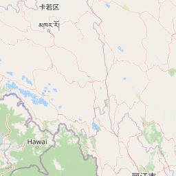
Distance Map Between Bali and Goyerkata
Bali, Kolkata, India ↔ Goyerkata, Kolkata, India = 283 miles = 456 km.


How far is it between Bāli and Goyerkāta
Bali is located in India with (22.6486,88.3412) coordinates and Goyerkata is located in India with (26.6998,89.0257) coordinates. The calculated flying distance from Bali to Goyerkata is equal to 283 miles which is equal to 456 km.
If you want to go by car, the driving distance between Bali and Goyerkata is 643.67 km. If you ride your car with an average speed of 112 kilometers/hour (70 miles/h), travel time will be 05 hours 44 minutes. Please check the avg. speed travel time table on the right for various options.
Difference between fly and go by a car is 188 km.
| City/Place | Latitude and Longitude | GPS Coordinates |
|---|---|---|
| Bali | 22.6486, 88.3412 | 22° 38´ 54.9240'' N 88° 20´ 28.1400'' E |
| Goyerkata | 26.6998, 89.0257 | 26° 41´ 59.4240'' N 89° 1´ 32.3400'' E |
Estimated Travel Time Between Bāli and Goyerkāta
| Average Speed | Travel Time |
|---|---|
| 30 mph (48 km/h) | 13 hours 24 minutes |
| 40 mph (64 km/h) | 10 hours 03 minutes |
| 50 mph (80 km/h) | 08 hours 02 minutes |
| 60 mph (97 km/h) | 06 hours 38 minutes |
| 70 mph (112 km/h) | 05 hours 44 minutes |
| 75 mph (120 km/h) | 05 hours 21 minutes |
Related Distances from Bali
| Cities | Distance |
|---|---|
| Bali to Shrirampur | 14 km |
| Bali to Tarakeswar | 49 km |
| Bali to Barasat | 21 km |
| Bali to Konnagar | 9 km |
| Bali to Kharagpur | 124 km |
Related Distances to Goyerkata
| Cities | Distance |
|---|---|
| Birpara to Goyerkata | 12 km |
| Dhulian to Goyerkata | 357 km |
| Bhadreswar to Goyerkata | 619 km |
| Canning to Goyerkata | 693 km |
| Chakapara to Goyerkata | 627 km |