Distance from Banda to Nagod
Distance between Banda and Nagod is 175 kilometers (109 miles).
Driving distance from Banda to Nagod is 208 kilometers (129 miles).
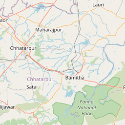
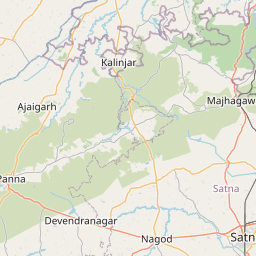
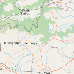
Distance Map Between Banda and Nagod
Banda, Bhopal, India ↔ Nagod, Bhopal, India = 109 miles = 175 km.


How far is it between Banda and Nāgod
Banda is located in India with (24.0445,78.9616) coordinates and Nagod is located in India with (24.5705,80.5866) coordinates. The calculated flying distance from Banda to Nagod is equal to 109 miles which is equal to 175 km.
If you want to go by car, the driving distance between Banda and Nagod is 207.76 km. If you ride your car with an average speed of 112 kilometers/hour (70 miles/h), travel time will be 01 hours 51 minutes. Please check the avg. speed travel time table on the right for various options.
Difference between fly and go by a car is 33 km.
| City/Place | Latitude and Longitude | GPS Coordinates |
|---|---|---|
| Banda | 24.0445, 78.9616 | 24° 2´ 40.1640'' N 78° 57´ 41.8680'' E |
| Nagod | 24.5705, 80.5866 | 24° 34´ 13.8000'' N 80° 35´ 11.5800'' E |
Estimated Travel Time Between Banda and Nāgod
| Average Speed | Travel Time |
|---|---|
| 30 mph (48 km/h) | 04 hours 19 minutes |
| 40 mph (64 km/h) | 03 hours 14 minutes |
| 50 mph (80 km/h) | 02 hours 35 minutes |
| 60 mph (97 km/h) | 02 hours 08 minutes |
| 70 mph (112 km/h) | 01 hours 51 minutes |
| 75 mph (120 km/h) | 01 hours 43 minutes |
Related Distances from Banda
| Cities | Distance |
|---|---|
| Banda 2 to Sagar | 36 km |
| Banda 2 to Naraini | 262 km |
| Banda 2 to Panna | 196 km |
| Banda 2 to Chhatarpur | 127 km |
| Banda 2 to Khurai | 87 km |
Related Distances to Nagod
| Cities | Distance |
|---|---|
| Maihar to Nagod | 48 km |
| Chhatarpur to Nagod | 115 km |
| Jabalpur to Nagod | 206 km |
| Damoh to Nagod | 179 km |
| Banda 2 to Nagod | 208 km |