Distance from Banda to Maudaha
Distance between Banda and Maudaha is 32 kilometers (20 miles).
Driving distance from Banda to Maudaha is 53 kilometers (33 miles).
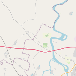
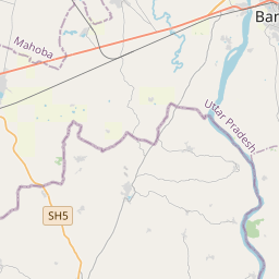
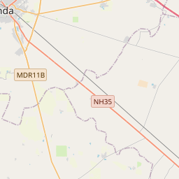
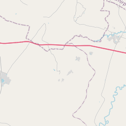
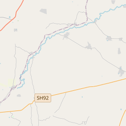
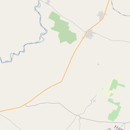
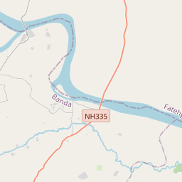
Distance Map Between Banda and Maudaha
Banda, Lucknow, India ↔ Maudaha, Lucknow, India = 20 miles = 32 km.

How far is it between Bānda and Maudaha
Banda is located in India with (25.4753,80.3358) coordinates and Maudaha is located in India with (25.6836,80.1137) coordinates. The calculated flying distance from Banda to Maudaha is equal to 20 miles which is equal to 32 km.
If you want to go by car, the driving distance between Banda and Maudaha is 52.97 km. If you ride your car with an average speed of 112 kilometers/hour (70 miles/h), travel time will be 00 hours 28 minutes. Please check the avg. speed travel time table on the right for various options.
Difference between fly and go by a car is 21 km.
| City/Place | Latitude and Longitude | GPS Coordinates |
|---|---|---|
| Banda | 25.4753, 80.3358 | 25° 28´ 31.2240'' N 80° 20´ 8.8800'' E |
| Maudaha | 25.6836, 80.1137 | 25° 41´ 0.7800'' N 80° 6´ 49.3200'' E |
Estimated Travel Time Between Bānda and Maudaha
| Average Speed | Travel Time |
|---|---|
| 30 mph (48 km/h) | 01 hours 06 minutes |
| 40 mph (64 km/h) | 00 hours 49 minutes |
| 50 mph (80 km/h) | 00 hours 39 minutes |
| 60 mph (97 km/h) | 00 hours 32 minutes |
| 70 mph (112 km/h) | 00 hours 28 minutes |
| 75 mph (120 km/h) | 00 hours 26 minutes |
Related Distances from Banda
| Cities | Distance |
|---|---|
| Banda to Rath | 120 km |
| Banda to Maudaha | 53 km |
| Banda to Hamirpur | 86 km |
| Banda to Rae Bareli | 137 km |
| Banda to Khutar | 399 km |
Related Distances to Maudaha
| Cities | Distance |
|---|---|
| Kanpur to Maudaha | 97 km |
| Banda to Maudaha | 53 km |
| Jhansi to Maudaha | 233 km |
| Mahoba to Maudaha | 55 km |
| Fatehpur to Maudaha | 123 km |