Distance from Banda to Rath
Distance between Banda and Rath is 78 kilometers (49 miles).
Driving distance from Banda to Rath is 120 kilometers (74 miles).
Distance Map Between Banda and Rath
Banda, Lucknow, India ↔ Rath, Lucknow, India = 49 miles = 78 km.


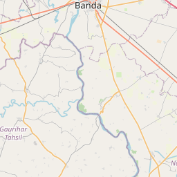

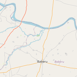

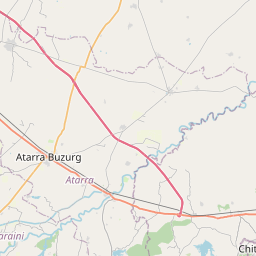

Leaflet | © OpenStreetMap
How far is it between Bānda and Rāth
Banda is located in India with (25.4753,80.3358) coordinates and Rath is located in India with (25.5945,79.5663) coordinates. The calculated flying distance from Banda to Rath is equal to 49 miles which is equal to 78 km.
If you want to go by car, the driving distance between Banda and Rath is 119.66 km. If you ride your car with an average speed of 112 kilometers/hour (70 miles/h), travel time will be 01 hours 04 minutes. Please check the avg. speed travel time table on the right for various options.
Difference between fly and go by a car is 42 km.
| City/Place | Latitude and Longitude | GPS Coordinates |
|---|---|---|
| Banda | 25.4753, 80.3358 | 25° 28´ 31.2240'' N 80° 20´ 8.8800'' E |
| Rath | 25.5945, 79.5663 | 25° 35´ 40.3080'' N 79° 33´ 58.7520'' E |
Estimated Travel Time Between Bānda and Rāth
| Average Speed | Travel Time |
|---|---|
| 30 mph (48 km/h) | 02 hours 29 minutes |
| 40 mph (64 km/h) | 01 hours 52 minutes |
| 50 mph (80 km/h) | 01 hours 29 minutes |
| 60 mph (97 km/h) | 01 hours 14 minutes |
| 70 mph (112 km/h) | 01 hours 04 minutes |
| 75 mph (120 km/h) | 00 hours 59 minutes |
Banda, Lucknow, India
Related Distances from Banda
| Cities | Distance |
|---|---|
| Banda to Rath | 120 km |
| Banda to Maudaha | 53 km |
| Banda to Hamirpur | 86 km |
| Banda to Rae Bareli | 137 km |
| Banda to Khutar | 399 km |
Rath, Lucknow, India
Related Distances to Rath
| Cities | Distance |
|---|---|
| Jhansi to Rath | 137 km |
| Kanpur to Rath | 141 km |
| Orai to Rath | 56 km |
| Hamirpur to Rath | 79 km |
| Mahoba to Rath | 67 km |