Distance from Banfora to Kaya
Distance between Banfora and Kaya is 485 kilometers (301 miles).
Driving distance from Banfora to Kaya is 676 kilometers (420 miles).
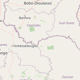
Distance Map Between Banfora and Kaya
Banfora, Burkina Faso ↔ Kaya, Burkina Faso = 301 miles = 485 km.


How far is it between Banfora and Kaya
Banfora is located in Burkina Faso with (10.6333,-4.7667) coordinates and Kaya is located in Burkina Faso with (13.0917,-1.0844) coordinates. The calculated flying distance from Banfora to Kaya is equal to 301 miles which is equal to 485 km.
If you want to go by car, the driving distance between Banfora and Kaya is 675.95 km. If you ride your car with an average speed of 112 kilometers/hour (70 miles/h), travel time will be 06 hours 02 minutes. Please check the avg. speed travel time table on the right for various options.
Difference between fly and go by a car is 191 km.
| City/Place | Latitude and Longitude | GPS Coordinates |
|---|---|---|
| Banfora | 10.6333, -4.7667 | 10° 37´ 59.9880'' N 4° 46´ 0.0120'' W |
| Kaya | 13.0917, -1.0844 | 13° 5´ 30.0120'' N 1° 5´ 3.9840'' W |
Estimated Travel Time Between Banfora and Kaya
| Average Speed | Travel Time |
|---|---|
| 30 mph (48 km/h) | 14 hours 04 minutes |
| 40 mph (64 km/h) | 10 hours 33 minutes |
| 50 mph (80 km/h) | 08 hours 26 minutes |
| 60 mph (97 km/h) | 06 hours 58 minutes |
| 70 mph (112 km/h) | 06 hours 02 minutes |
| 75 mph (120 km/h) | 05 hours 37 minutes |
Related Distances from Banfora
| Cities | Distance |
|---|---|
| Banfora to Ouagadougou | 467 km |
| Banfora to Bobo Dioulasso | 88 km |
| Banfora to Koudougou | 523 km |
| Banfora to Dori | 831 km |
| Banfora to Ouahigouya | 527 km |
Related Distances to Kaya
| Cities | Distance |
|---|---|
| Ouagadougou to Kaya | 110 km |
| Dori to Kaya | 170 km |
| Fada N Gourma to Kaya | 230 km |
| Bobo Dioulasso to Kaya | 579 km |
| Manga to Kaya | 227 km |