Distance from Bangil to Soko
Distance between Bangil and Soko is 45 kilometers (28 miles).
Driving distance from Bangil to Soko is 55 kilometers (34 miles).
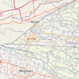
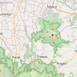
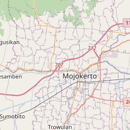
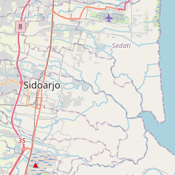
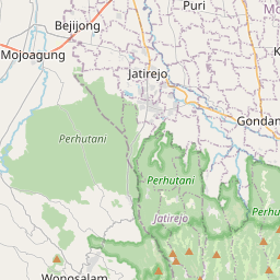
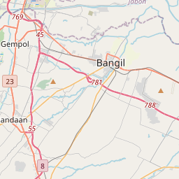
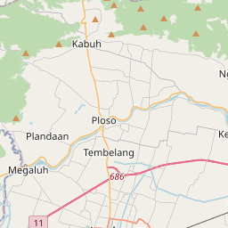
Distance Map Between Bangil and Soko
Bangil, Surabaya, Indonesia ↔ Soko, Surabaya, Indonesia = 28 miles = 45 km.

How far is it between Bangil and Soko
Bangil is located in Indonesia with (-7.5994,112.8186) coordinates and Soko is located in Indonesia with (-7.4832,112.427) coordinates. The calculated flying distance from Bangil to Soko is equal to 28 miles which is equal to 45 km.
If you want to go by car, the driving distance between Bangil and Soko is 54.66 km. If you ride your car with an average speed of 112 kilometers/hour (70 miles/h), travel time will be 00 hours 29 minutes. Please check the avg. speed travel time table on the right for various options.
Difference between fly and go by a car is 10 km.
| City/Place | Latitude and Longitude | GPS Coordinates |
|---|---|---|
| Bangil | -7.5994, 112.8186 | 7° 35´ 57.8040'' S 112° 49´ 6.9600'' E |
| Soko | -7.4832, 112.427 | 7° 28´ 59.3400'' S 112° 25´ 37.3440'' E |
Estimated Travel Time Between Bangil and Soko
| Average Speed | Travel Time |
|---|---|
| 30 mph (48 km/h) | 01 hours 08 minutes |
| 40 mph (64 km/h) | 00 hours 51 minutes |
| 50 mph (80 km/h) | 00 hours 40 minutes |
| 60 mph (97 km/h) | 00 hours 33 minutes |
| 70 mph (112 km/h) | 00 hours 29 minutes |
| 75 mph (120 km/h) | 00 hours 27 minutes |
Related Distances from Bangil
| Cities | Distance |
|---|---|
| Bangil to Pandaan | 19 km |
| Bangil to Lumajang | 95 km |
| Bangil to Malang | 55 km |
| Bangil to Mojokerto | 56 km |
| Bangil to Tuban | 148 km |
Related Distances to Soko
| Cities | Distance |
|---|---|
| Mojokerto to Soko | 2 km |
| Panji to Soko | 213 km |
| Pare to Soko | 50 km |
| Jember to Soko | 199 km |
| Kediri to Soko | 74 km |