Distance from Banswara to Todabhim
Distance between Banswara and Todabhim is 445 kilometers (276 miles).
Driving distance from Banswara to Todabhim is 612 kilometers (380 miles).
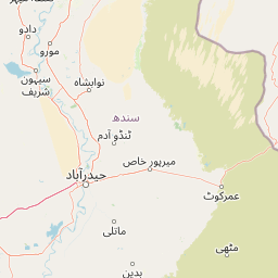
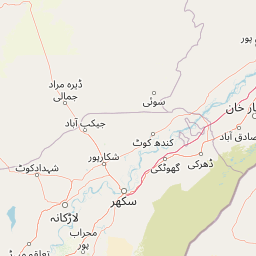
Distance Map Between Banswara and Todabhim
Banswara, Jaipur, India ↔ Todabhim, Jaipur, India = 276 miles = 445 km.


How far is it between Bānswāra and Todabhim
Banswara is located in India with (23.5411,74.4425) coordinates and Todabhim is located in India with (26.9167,76.8167) coordinates. The calculated flying distance from Banswara to Todabhim is equal to 276 miles which is equal to 445 km.
If you want to go by car, the driving distance between Banswara and Todabhim is 612.03 km. If you ride your car with an average speed of 112 kilometers/hour (70 miles/h), travel time will be 05 hours 27 minutes. Please check the avg. speed travel time table on the right for various options.
Difference between fly and go by a car is 167 km.
| City/Place | Latitude and Longitude | GPS Coordinates |
|---|---|---|
| Banswara | 23.5411, 74.4425 | 23° 32´ 27.9240'' N 74° 26´ 33.0000'' E |
| Todabhim | 26.9167, 76.8167 | 26° 55´ 0.0120'' N 76° 49´ 0.0120'' E |
Estimated Travel Time Between Bānswāra and Todabhim
| Average Speed | Travel Time |
|---|---|
| 30 mph (48 km/h) | 12 hours 45 minutes |
| 40 mph (64 km/h) | 09 hours 33 minutes |
| 50 mph (80 km/h) | 07 hours 39 minutes |
| 60 mph (97 km/h) | 06 hours 18 minutes |
| 70 mph (112 km/h) | 05 hours 27 minutes |
| 75 mph (120 km/h) | 05 hours 06 minutes |
Related Distances from Banswara
| Cities | Distance |
|---|---|
| Banswara to Udaipur | 163 km |
| Banswara to Pratapgarh | 88 km |
| Banswara to Salumbar | 93 km |
| Banswara to Dungarpur | 105 km |
| Banswara to Kota | 363 km |
Related Distances to Todabhim
| Cities | Distance |
|---|---|
| Gangapur to Todabhim | 63 km |
| Hindaun to Todabhim | 44 km |
| Karauli to Todabhim | 73 km |
| Dausa to Todabhim | 54 km |
| Alwar to Todabhim | 106 km |