Distance from Baran to Mangrol
Distance between Baran and Mangrol is 26 kilometers (16 miles).
Driving distance from Baran to Mangrol is 27 kilometers (17 miles).
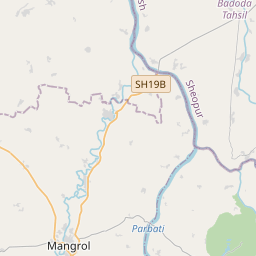
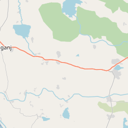
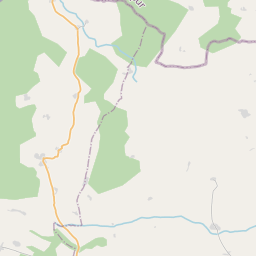
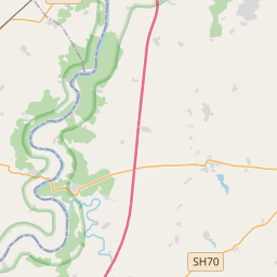
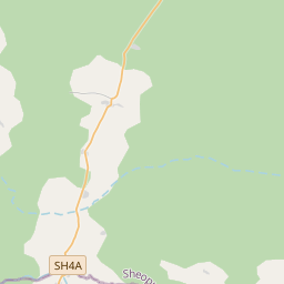
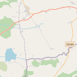
Distance Map Between Baran and Mangrol
Baran, Jaipur, India ↔ Mangrol, Jaipur, India = 16 miles = 26 km.


How far is it between Bārān and Māngrol
Baran is located in India with (25.1,76.5167) coordinates and Mangrol is located in India with (25.3306,76.5097) coordinates. The calculated flying distance from Baran to Mangrol is equal to 16 miles which is equal to 26 km.
If you want to go by car, the driving distance between Baran and Mangrol is 26.77 km. If you ride your car with an average speed of 112 kilometers/hour (70 miles/h), travel time will be 00 hours 14 minutes. Please check the avg. speed travel time table on the right for various options.
Difference between fly and go by a car is 1 km.
| City/Place | Latitude and Longitude | GPS Coordinates |
|---|---|---|
| Baran | 25.1, 76.5167 | 25° 6´ 0.0000'' N 76° 31´ 0.0120'' E |
| Mangrol | 25.3306, 76.5097 | 25° 19´ 50.1960'' N 76° 30´ 35.0280'' E |
Estimated Travel Time Between Bārān and Māngrol
| Average Speed | Travel Time |
|---|---|
| 30 mph (48 km/h) | 00 hours 33 minutes |
| 40 mph (64 km/h) | 00 hours 25 minutes |
| 50 mph (80 km/h) | 00 hours 20 minutes |
| 60 mph (97 km/h) | 00 hours 16 minutes |
| 70 mph (112 km/h) | 00 hours 14 minutes |
| 75 mph (120 km/h) | 00 hours 13 minutes |
Related Distances from Baran
| Cities | Distance |
|---|---|
| Baran to Mangrol 2 | 27 km |
| Baran to Sangod | 41 km |
| Baran to Chhabra | 64 km |
| Baran to Kota | 81 km |
| Baran to Jhalawar | 84 km |
Related Distances to Mangrol
| Cities | Distance |
|---|---|
| Kota to Mangrol 2 | 104 km |
| Baran to Mangrol 2 | 27 km |
| Anta to Mangrol 2 | 51 km |
| Jhalawar to Mangrol 2 | 108 km |
| Bundi to Mangrol 2 | 136 km |