Distance from Barbalha to Ico
Distance between Barbalha and Ico is 112 kilometers (70 miles).
Driving distance from Barbalha to Ico is 156 kilometers (97 miles).
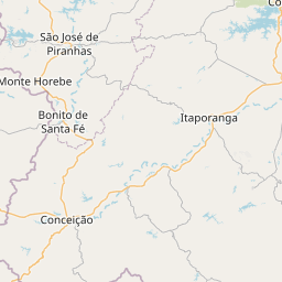
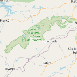
Distance Map Between Barbalha and Ico
Barbalha, Fortaleza, Brazil ↔ Ico, Fortaleza, Brazil = 70 miles = 112 km.


How far is it between Barbalha and Icó
Barbalha is located in Brazil with (-7.3111,-39.3042) coordinates and Ico is located in Brazil with (-6.4011,-38.8622) coordinates. The calculated flying distance from Barbalha to Ico is equal to 70 miles which is equal to 112 km.
If you want to go by car, the driving distance between Barbalha and Ico is 156.32 km. If you ride your car with an average speed of 112 kilometers/hour (70 miles/h), travel time will be 01 hours 23 minutes. Please check the avg. speed travel time table on the right for various options.
Difference between fly and go by a car is 44 km.
| City/Place | Latitude and Longitude | GPS Coordinates |
|---|---|---|
| Barbalha | -7.3111, -39.3042 | 7° 18´ 39.9960'' S 39° 18´ 15.0120'' W |
| Ico | -6.4011, -38.8622 | 6° 24´ 3.9960'' S 38° 51´ 43.9920'' W |
Estimated Travel Time Between Barbalha and Icó
| Average Speed | Travel Time |
|---|---|
| 30 mph (48 km/h) | 03 hours 15 minutes |
| 40 mph (64 km/h) | 02 hours 26 minutes |
| 50 mph (80 km/h) | 01 hours 57 minutes |
| 60 mph (97 km/h) | 01 hours 36 minutes |
| 70 mph (112 km/h) | 01 hours 23 minutes |
| 75 mph (120 km/h) | 01 hours 18 minutes |
Related Distances from Barbalha
| Cities | Distance |
|---|---|
| Barbalha to Caucaia | 517 km |
| Barbalha to Caninde | 466 km |
| Barbalha to Juazeiro Do Norte | 14 km |
| Barbalha to Boa Viagem | 336 km |
| Barbalha to Vicosa Do Ceara | 615 km |
Related Distances to Ico
| Cities | Distance |
|---|---|
| Caucaia to Ico | 382 km |
| Brejo Santo to Ico | 142 km |
| Boa Viagem to Ico | 226 km |
| Crato to Ico | 167 km |
| Eusebio to Ico | 373 km |