Distance from Barra to Mascote
Distance between Barra and Mascote is 648 kilometers (403 miles).
Driving distance from Barra to Mascote is 936 kilometers (582 miles).
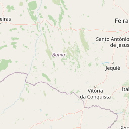
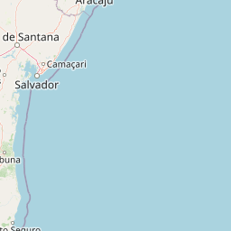
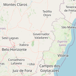
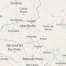
Distance Map Between Barra and Mascote
Barra, Salvador, Brazil ↔ Mascote, Salvador, Brazil = 403 miles = 648 km.


How far is it between Barra and Mascote
Barra is located in Brazil with (-11.0894,-43.1417) coordinates and Mascote is located in Brazil with (-15.5631,-39.3025) coordinates. The calculated flying distance from Barra to Mascote is equal to 403 miles which is equal to 648 km.
If you want to go by car, the driving distance between Barra and Mascote is 935.97 km. If you ride your car with an average speed of 112 kilometers/hour (70 miles/h), travel time will be 08 hours 21 minutes. Please check the avg. speed travel time table on the right for various options.
Difference between fly and go by a car is 288 km.
| City/Place | Latitude and Longitude | GPS Coordinates |
|---|---|---|
| Barra | -11.0894, -43.1417 | 11° 5´ 21.9840'' S 43° 8´ 30.0120'' W |
| Mascote | -15.5631, -39.3025 | 15° 33´ 47.0160'' S 39° 18´ 9.0000'' W |
Estimated Travel Time Between Barra and Mascote
| Average Speed | Travel Time |
|---|---|
| 30 mph (48 km/h) | 19 hours 29 minutes |
| 40 mph (64 km/h) | 14 hours 37 minutes |
| 50 mph (80 km/h) | 11 hours 41 minutes |
| 60 mph (97 km/h) | 09 hours 38 minutes |
| 70 mph (112 km/h) | 08 hours 21 minutes |
| 75 mph (120 km/h) | 07 hours 47 minutes |
Related Distances from Barra
| Cities | Distance |
|---|---|
| Barra to Gandu | 694 km |
| Barra to Irece | 201 km |
| Barra to Maracas | 630 km |
| Barra to Porto Seguro | 1019 km |
| Barra to Conceicao Do Coite | 590 km |
Related Distances to Mascote
| Cities | Distance |
|---|---|
| Bom Jesus Da Lapa to Mascote | 641 km |
| Jaguarari to Mascote | 753 km |
| Jaguaquara to Mascote | 342 km |
| Itambe to Mascote | 210 km |
| Cruz Das Almas to Mascote | 401 km |