Distance from Barretos to Peruibe
Distance between Barretos and Peruibe is 448 kilometers (279 miles).
Driving distance from Barretos to Peruibe is 579 kilometers (360 miles).
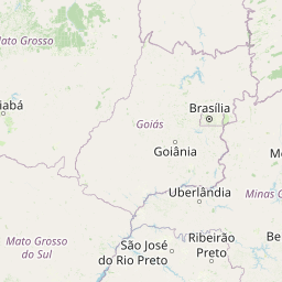
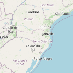
Distance Map Between Barretos and Peruibe
Barretos, Sao Paulo, Brazil ↔ Peruibe, Sao Paulo, Brazil = 279 miles = 448 km.


How far is it between Barretos and Peruíbe
Barretos is located in Brazil with (-20.5572,-48.5678) coordinates and Peruibe is located in Brazil with (-24.32,-46.9983) coordinates. The calculated flying distance from Barretos to Peruibe is equal to 279 miles which is equal to 448 km.
If you want to go by car, the driving distance between Barretos and Peruibe is 578.89 km. If you ride your car with an average speed of 112 kilometers/hour (70 miles/h), travel time will be 05 hours 10 minutes. Please check the avg. speed travel time table on the right for various options.
Difference between fly and go by a car is 131 km.
| City/Place | Latitude and Longitude | GPS Coordinates |
|---|---|---|
| Barretos | -20.5572, -48.5678 | 20° 33´ 25.9920'' S 48° 34´ 4.0080'' W |
| Peruibe | -24.32, -46.9983 | 24° 19´ 12.0000'' S 46° 59´ 53.9880'' W |
Estimated Travel Time Between Barretos and Peruíbe
| Average Speed | Travel Time |
|---|---|
| 30 mph (48 km/h) | 12 hours 03 minutes |
| 40 mph (64 km/h) | 09 hours 02 minutes |
| 50 mph (80 km/h) | 07 hours 14 minutes |
| 60 mph (97 km/h) | 05 hours 58 minutes |
| 70 mph (112 km/h) | 05 hours 10 minutes |
| 75 mph (120 km/h) | 04 hours 49 minutes |
Related Distances from Barretos
| Cities | Distance |
|---|---|
| Barretos to Barueri | 421 km |
| Barretos to Bastos | 305 km |
| Barretos to Batatais | 133 km |
| Barretos to Bauru | 255 km |
| Barretos to Bebedouro | 50 km |
| Barretos to Bertioga | 555 km |
| Barretos to Birigui | 231 km |
| Barretos to Biritiba Mirim | 501 km |
| Barretos to Boituva | 376 km |
| Barretos to Botucatu | 301 km |
Related Distances to Peruibe
| Cities | Distance |
|---|---|
| Casa Branca to Peruibe | 365 km |
| Guarulhos to Peruibe | 153 km |
| Barueri to Peruibe | 174 km |
| Botucatu to Peruibe | 380 km |
| Jundiai to Peruibe | 192 km |
| Campinas to Peruibe | 235 km |
| Andradina to Peruibe | 771 km |
| Guaruja to Peruibe | 114 km |
| Francisco Morato to Peruibe | 208 km |
| Fernandopolis to Peruibe | 707 km |