Distance from Bartin to Ordu
Distance between Bartin and Ordu is 468 kilometers (291 miles).
Driving distance from Bartin to Ordu is 669 kilometers (416 miles).
Distance Map Between Bartin and Ordu
Bartin, Turkey ↔ Ordu, Turkey = 291 miles = 468 km.


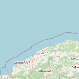
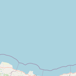


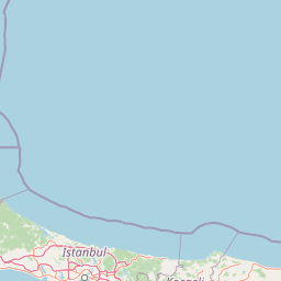
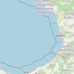

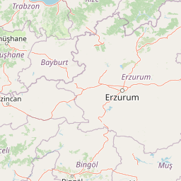

Leaflet | © OpenStreetMap
How far is it between Bartın and Ordu
Bartin is located in Turkey with (41.6358,32.3375) coordinates and Ordu is located in Turkey with (40.9847,37.8789) coordinates. The calculated flying distance from Bartin to Ordu is equal to 291 miles which is equal to 468 km.
If you want to go by car, the driving distance between Bartin and Ordu is 669.04 km. If you ride your car with an average speed of 112 kilometers/hour (70 miles/h), travel time will be 05 hours 58 minutes. Please check the avg. speed travel time table on the right for various options.
Difference between fly and go by a car is 201 km.
| City/Place | Latitude and Longitude | GPS Coordinates |
|---|---|---|
| Bartin | 41.6358, 32.3375 | 41° 38´ 8.9880'' N 32° 20´ 15.0000'' E |
| Ordu | 40.9847, 37.8789 | 40° 59´ 4.9920'' N 37° 52´ 44.0040'' E |
Estimated Travel Time Between Bartın and Ordu
| Average Speed | Travel Time |
|---|---|
| 30 mph (48 km/h) | 13 hours 56 minutes |
| 40 mph (64 km/h) | 10 hours 27 minutes |
| 50 mph (80 km/h) | 08 hours 21 minutes |
| 60 mph (97 km/h) | 06 hours 53 minutes |
| 70 mph (112 km/h) | 05 hours 58 minutes |
| 75 mph (120 km/h) | 05 hours 34 minutes |
Bartin, Turkey
Related Distances from Bartin
| Cities | Distance |
|---|---|
| Bartin to Istanbul | 446 km |
| Bartin to Ankara | 294 km |
| Bartin to Samsun | 513 km |
| Bartin to Trabzon | 873 km |
| Bartin to Zonguldak | 88 km |
Ordu, Turkey
Related Distances to Ordu
| Cities | Distance |
|---|---|
| Istanbul to Ordu | 893 km |
| Giresun to Ordu | 46 km |
| Amasya to Ordu | 274 km |
| Bolu to Ordu | 624 km |
| Bursa to Ordu | 895 km |