Distance from Batangas to Calauag
Distance between Batangas and Calauag is 135 kilometers (84 miles).
Driving distance from Batangas to Calauag is 177 kilometers (110 miles).
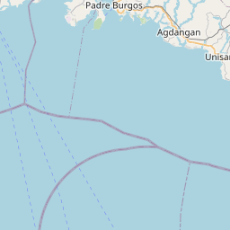
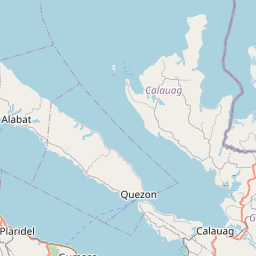
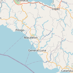
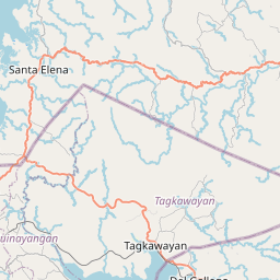
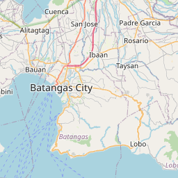
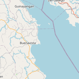
Distance Map Between Batangas and Calauag
Batangas, Calamba, Philippines ↔ Calauag, Calamba, Philippines = 84 miles = 135 km.


How far is it between Batangas and Calauag
Batangas is located in Philippines with (13.7567,121.0584) coordinates and Calauag is located in Philippines with (13.9575,122.288) coordinates. The calculated flying distance from Batangas to Calauag is equal to 84 miles which is equal to 135 km.
If you want to go by car, the driving distance between Batangas and Calauag is 176.78 km. If you ride your car with an average speed of 112 kilometers/hour (70 miles/h), travel time will be 01 hours 34 minutes. Please check the avg. speed travel time table on the right for various options.
Difference between fly and go by a car is 42 km.
| City/Place | Latitude and Longitude | GPS Coordinates |
|---|---|---|
| Batangas | 13.7567, 121.0584 | 13° 45´ 24.1200'' N 121° 3´ 30.2400'' E |
| Calauag | 13.9575, 122.288 | 13° 57´ 27.0000'' N 122° 17´ 16.8000'' E |
Estimated Travel Time Between Batangas and Calauag
| Average Speed | Travel Time |
|---|---|
| 30 mph (48 km/h) | 03 hours 40 minutes |
| 40 mph (64 km/h) | 02 hours 45 minutes |
| 50 mph (80 km/h) | 02 hours 12 minutes |
| 60 mph (97 km/h) | 01 hours 49 minutes |
| 70 mph (112 km/h) | 01 hours 34 minutes |
| 75 mph (120 km/h) | 01 hours 28 minutes |
Related Distances from Batangas
| Cities | Distance |
|---|---|
| Batangas to Cavite City | 113 km |
| Batangas to Lucena | 82 km |
| Batangas to Lipa City | 31 km |
| Batangas to Taguig | 102 km |
| Batangas to Santo Tomas | 49 km |
Related Distances to Calauag
| Cities | Distance |
|---|---|
| Atimonan to Calauag | 55 km |
| Batangas to Calauag | 177 km |
| Antipolo to Calauag | 209 km |
| Cainta to Calauag | 247 km |
| Alaminos to Calauag | 150 km |