Distance from Bathurst to Cessnock
Distance between Bathurst and Cessnock is 178 kilometers (110 miles).
Driving distance from Bathurst to Cessnock is 327 kilometers (203 miles).
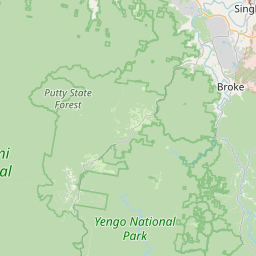
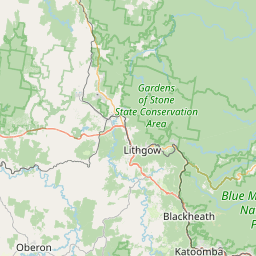
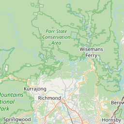
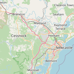
Distance Map Between Bathurst and Cessnock
Bathurst, Sydney, Australia ↔ Cessnock, Sydney, Australia = 110 miles = 178 km.


How far is it between Bathurst and Cessnock
Bathurst is located in Australia with (-33.4167,149.5806) coordinates and Cessnock is located in Australia with (-32.8321,151.3562) coordinates. The calculated flying distance from Bathurst to Cessnock is equal to 110 miles which is equal to 178 km.
If you want to go by car, the driving distance between Bathurst and Cessnock is 326.84 km. If you ride your car with an average speed of 112 kilometers/hour (70 miles/h), travel time will be 02 hours 55 minutes. Please check the avg. speed travel time table on the right for various options.
Difference between fly and go by a car is 149 km.
| City/Place | Latitude and Longitude | GPS Coordinates |
|---|---|---|
| Bathurst | -33.4167, 149.5806 | 33° 24´ 59.9400'' S 149° 34´ 50.1600'' E |
| Cessnock | -32.8321, 151.3562 | 32° 49´ 55.5960'' S 151° 21´ 22.4280'' E |
Estimated Travel Time Between Bathurst and Cessnock
| Average Speed | Travel Time |
|---|---|
| 30 mph (48 km/h) | 06 hours 48 minutes |
| 40 mph (64 km/h) | 05 hours 06 minutes |
| 50 mph (80 km/h) | 04 hours 05 minutes |
| 60 mph (97 km/h) | 03 hours 22 minutes |
| 70 mph (112 km/h) | 02 hours 55 minutes |
| 75 mph (120 km/h) | 02 hours 43 minutes |
Related Distances from Bathurst
| Cities | Distance |
|---|---|
| Bathurst to Orange 2 | 55 km |
| Bathurst to Dubbo | 207 km |
| Bathurst to Griffith 2 | 418 km |
| Bathurst to Wagga Wagga | 322 km |
| Bathurst to Newcastle 2 | 323 km |
Related Distances to Cessnock
| Cities | Distance |
|---|---|
| Bathurst to Cessnock | 327 km |
| Armidale to Cessnock | 360 km |
| Broken Hill to Cessnock | 1100 km |
| Blacktown to Cessnock | 150 km |
| Albury to Cessnock | 695 km |