Distance from Batu to Gampengrejo
Distance between Batu and Gampengrejo is 58 kilometers (36 miles).
Driving distance from Batu to Gampengrejo is 83 kilometers (52 miles).
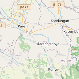
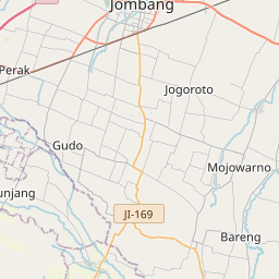
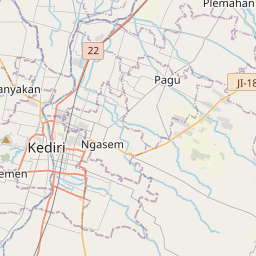
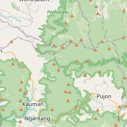
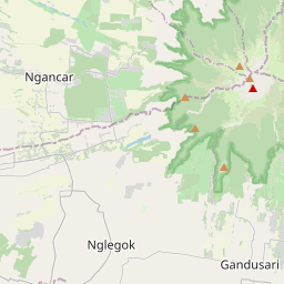
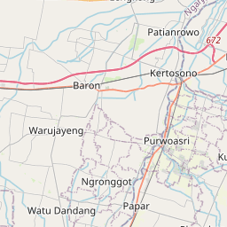
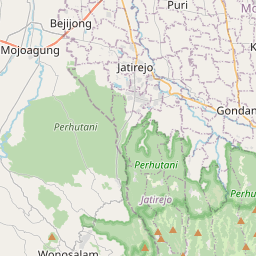
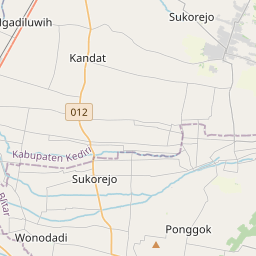
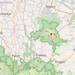
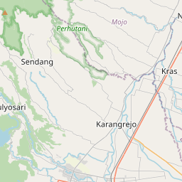
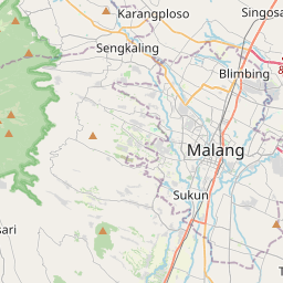
Distance Map Between Batu and Gampengrejo
Batu, Surabaya, Indonesia ↔ Gampengrejo, Surabaya, Indonesia = 36 miles = 58 km.

How far is it between Batu and Gampengrejo
Batu is located in Indonesia with (-7.87,112.5283) coordinates and Gampengrejo is located in Indonesia with (-7.7667,112.0167) coordinates. The calculated flying distance from Batu to Gampengrejo is equal to 36 miles which is equal to 58 km.
If you want to go by car, the driving distance between Batu and Gampengrejo is 83.17 km. If you ride your car with an average speed of 112 kilometers/hour (70 miles/h), travel time will be 00 hours 44 minutes. Please check the avg. speed travel time table on the right for various options.
Difference between fly and go by a car is 25 km.
| City/Place | Latitude and Longitude | GPS Coordinates |
|---|---|---|
| Batu | -7.87, 112.5283 | 7° 52´ 12.0000'' S 112° 31´ 41.9880'' E |
| Gampengrejo | -7.7667, 112.0167 | 7° 46´ 0.0120'' S 112° 1´ 0.0120'' E |
Estimated Travel Time Between Batu and Gampengrejo
| Average Speed | Travel Time |
|---|---|
| 30 mph (48 km/h) | 01 hours 43 minutes |
| 40 mph (64 km/h) | 01 hours 17 minutes |
| 50 mph (80 km/h) | 01 hours 02 minutes |
| 60 mph (97 km/h) | 00 hours 51 minutes |
| 70 mph (112 km/h) | 00 hours 44 minutes |
| 75 mph (120 km/h) | 00 hours 41 minutes |
Related Distances from Batu
| Cities | Distance |
|---|---|
| Batu to Malang | 18 km |
| Batu to Surabaya | 110 km |
| Batu to Kertosono | 83 km |
| Batu to Singosari | 20 km |
| Batu to Tuban | 153 km |
Related Distances to Gampengrejo
| Cities | Distance |
|---|---|
| Bojonegoro to Gampengrejo | 93 km |
| Batu to Gampengrejo | 83 km |
| Banyuwangi to Gampengrejo | 372 km |
| Diwek to Gampengrejo | 38 km |
| Gambiran Satu to Gampengrejo | 333 km |