Distance from Batu to Pasuruan
Distance between Batu and Pasuruan is 49 kilometers (30 miles).
Driving distance from Batu to Pasuruan is 63 kilometers (39 miles).
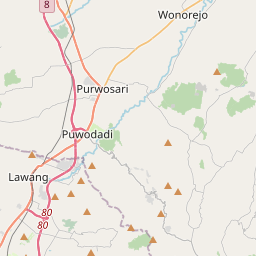
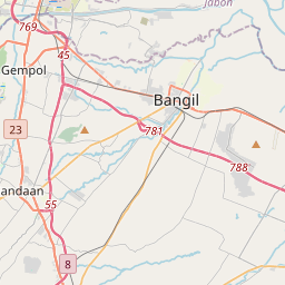
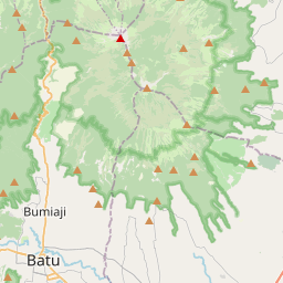
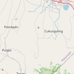
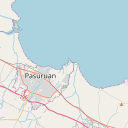
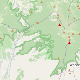
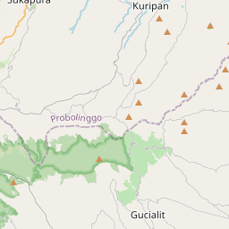
Distance Map Between Batu and Pasuruan
Batu, Surabaya, Indonesia ↔ Pasuruan, Surabaya, Indonesia = 30 miles = 49 km.


How far is it between Batu and Pasuruan
Batu is located in Indonesia with (-7.87,112.5283) coordinates and Pasuruan is located in Indonesia with (-7.6453,112.9075) coordinates. The calculated flying distance from Batu to Pasuruan is equal to 30 miles which is equal to 49 km.
If you want to go by car, the driving distance between Batu and Pasuruan is 63 km. If you ride your car with an average speed of 112 kilometers/hour (70 miles/h), travel time will be 00 hours 33 minutes. Please check the avg. speed travel time table on the right for various options.
Difference between fly and go by a car is 14 km.
| City/Place | Latitude and Longitude | GPS Coordinates |
|---|---|---|
| Batu | -7.87, 112.5283 | 7° 52´ 12.0000'' S 112° 31´ 41.9880'' E |
| Pasuruan | -7.6453, 112.9075 | 7° 38´ 43.0800'' S 112° 54´ 27.0000'' E |
Estimated Travel Time Between Batu and Pasuruan
| Average Speed | Travel Time |
|---|---|
| 30 mph (48 km/h) | 01 hours 18 minutes |
| 40 mph (64 km/h) | 00 hours 59 minutes |
| 50 mph (80 km/h) | 00 hours 47 minutes |
| 60 mph (97 km/h) | 00 hours 38 minutes |
| 70 mph (112 km/h) | 00 hours 33 minutes |
| 75 mph (120 km/h) | 00 hours 31 minutes |
Related Distances from Batu
| Cities | Distance |
|---|---|
| Batu to Malang | 18 km |
| Batu to Surabaya | 110 km |
| Batu to Kertosono | 83 km |
| Batu to Singosari | 20 km |
| Batu to Tuban | 153 km |
Related Distances to Pasuruan
| Cities | Distance |
|---|---|
| Malang to Pasuruan | 53 km |
| Jombang to Pasuruan | 89 km |
| Jakarta to Pasuruan | 821 km |
| Pandaan to Pasuruan | 31 km |
| Madiun to Pasuruan | 181 km |