Distance from Bauan to Tanay
Distance between Bauan and Tanay is 84 kilometers (52 miles).
Driving distance from Bauan to Tanay is 137 kilometers (85 miles).
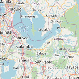
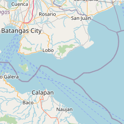
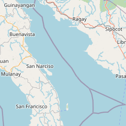
Distance Map Between Bauan and Tanay
Bauan, Calamba, Philippines ↔ Tanay, Calamba, Philippines = 52 miles = 84 km.


How far is it between Bauan and Tanay
Bauan is located in Philippines with (13.7917,121.0085) coordinates and Tanay is located in Philippines with (14.4968,121.2846) coordinates. The calculated flying distance from Bauan to Tanay is equal to 52 miles which is equal to 84 km.
If you want to go by car, the driving distance between Bauan and Tanay is 137.21 km. If you ride your car with an average speed of 112 kilometers/hour (70 miles/h), travel time will be 01 hours 13 minutes. Please check the avg. speed travel time table on the right for various options.
Difference between fly and go by a car is 53 km.
| City/Place | Latitude and Longitude | GPS Coordinates |
|---|---|---|
| Bauan | 13.7917, 121.0085 | 13° 47´ 30.1200'' N 121° 0´ 30.6000'' E |
| Tanay | 14.4968, 121.2846 | 14° 29´ 48.4800'' N 121° 17´ 4.5600'' E |
Estimated Travel Time Between Bauan and Tanay
| Average Speed | Travel Time |
|---|---|
| 30 mph (48 km/h) | 02 hours 51 minutes |
| 40 mph (64 km/h) | 02 hours 08 minutes |
| 50 mph (80 km/h) | 01 hours 42 minutes |
| 60 mph (97 km/h) | 01 hours 24 minutes |
| 70 mph (112 km/h) | 01 hours 13 minutes |
| 75 mph (120 km/h) | 01 hours 08 minutes |
Related Distances from Bauan
| Cities | Distance |
|---|---|
| Bauan to Lipa City | 28 km |
| Bauan to Nasugbu | 61 km |
| Bauan to Taal | 17 km |
| Bauan to Calatagan | 63 km |
| Bauan to Calaca | 30 km |
Related Distances to Tanay
| Cities | Distance |
|---|---|
| Antipolo to Tanay | 22 km |
| Morong to Tanay | 10 km |
| Angono to Tanay | 25 km |
| Taguig to Tanay | 37 km |
| Pililla to Tanay | 3 km |