Distance from Bay City to Sugar Land
Distance between Bay City and Sugar Land is 78 kilometers (48 miles).
Driving distance from Bay City to Sugar Land is 95 kilometers (59 miles).
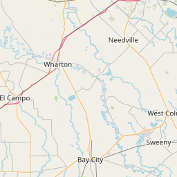
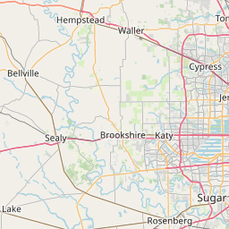
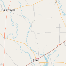
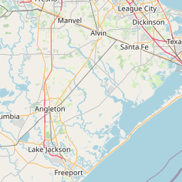
Distance Map Between Bay City and Sugar Land
Bay City, Austin, United States ↔ Sugar Land, Austin, United States = 48 miles = 78 km.


How far is it between Bay City and Sugar Land
Bay City is located in United States with (28.9828,-95.9694) coordinates and Sugar Land is located in United States with (29.6197,-95.635) coordinates. The calculated flying distance from Bay City to Sugar Land is equal to 48 miles which is equal to 78 km.
If you want to go by car, the driving distance between Bay City and Sugar Land is 95.3 km. If you ride your car with an average speed of 112 kilometers/hour (70 miles/h), travel time will be 00 hours 51 minutes. Please check the avg. speed travel time table on the right for various options.
Difference between fly and go by a car is 17 km.
| City/Place | Latitude and Longitude | GPS Coordinates |
|---|---|---|
| Bay City | 28.9828, -95.9694 | 28° 58´ 57.9360'' N 95° 58´ 9.8400'' W |
| Sugar Land | 29.6197, -95.635 | 29° 37´ 10.8480'' N 95° 38´ 5.8200'' W |
Estimated Travel Time Between Bay City and Sugar Land
| Average Speed | Travel Time |
|---|---|
| 30 mph (48 km/h) | 01 hours 59 minutes |
| 40 mph (64 km/h) | 01 hours 29 minutes |
| 50 mph (80 km/h) | 01 hours 11 minutes |
| 60 mph (97 km/h) | 00 hours 58 minutes |
| 70 mph (112 km/h) | 00 hours 51 minutes |
| 75 mph (120 km/h) | 00 hours 47 minutes |
Related Distances from Bay City
| Cities | Distance |
|---|---|
| Bay City 2 to Texas City | 131 km |
| Bay City 2 to Sugar Land | 95 km |
| Bay City 2 to Rosenberg | 82 km |
| Bay City 2 to Port Arthur | 268 km |
| Bay City 2 to Houston | 127 km |
Related Distances to Sugar Land
| Cities | Distance |
|---|---|
| The Woodlands to Sugar Land | 82 km |
| Texas City to Sugar Land | 94 km |
| Waco to Sugar Land | 300 km |
| Victoria 3 to Sugar Land | 171 km |
| Del Rio to Sugar Land | 552 km |