Distance from Bay City to London
Distance between Bay City and London is 225 kilometers (140 miles).
Driving distance from Bay City to London is 301 kilometers (187 miles).
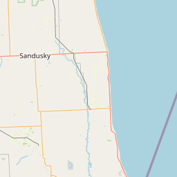
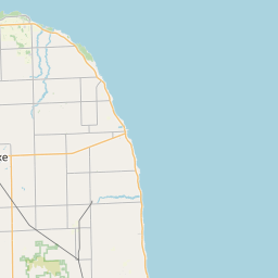
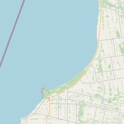
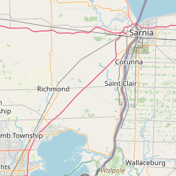
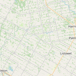
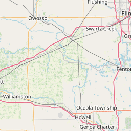
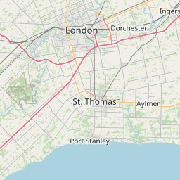
Distance Map Between Bay City and London
Bay City, Lansing, United States ↔ London, Ontario, Canada = 140 miles = 225 km.


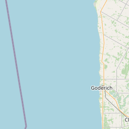
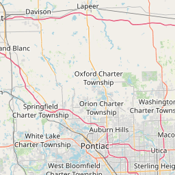
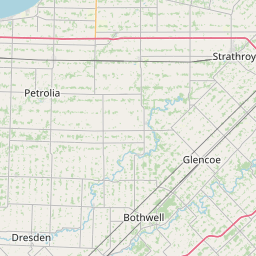

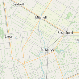


How far is it between Bay City and London
Bay City is located in United States with (43.5945,-83.8889) coordinates and London is located in Canada with (42.9834,-81.233) coordinates. The calculated flying distance from Bay City to London is equal to 140 miles which is equal to 225 km.
If you want to go by car, the driving distance between Bay City and London is 300.83 km. If you ride your car with an average speed of 112 kilometers/hour (70 miles/h), travel time will be 02 hours 41 minutes. Please check the avg. speed travel time table on the right for various options.
Difference between fly and go by a car is 76 km.
| City/Place | Latitude and Longitude | GPS Coordinates |
|---|---|---|
| Bay City | 43.5945, -83.8889 | 43° 35´ 40.0920'' N 83° 53´ 19.8960'' W |
| London | 42.9834, -81.233 | 42° 59´ 0.2040'' N 81° 13´ 58.9440'' W |
Estimated Travel Time Between Bay City and London
| Average Speed | Travel Time |
|---|---|
| 30 mph (48 km/h) | 06 hours 16 minutes |
| 40 mph (64 km/h) | 04 hours 42 minutes |
| 50 mph (80 km/h) | 03 hours 45 minutes |
| 60 mph (97 km/h) | 03 hours 06 minutes |
| 70 mph (112 km/h) | 02 hours 41 minutes |
| 75 mph (120 km/h) | 02 hours 30 minutes |
Related Distances from Bay City
| Cities | Distance |
|---|---|
| Bay City to Toronto | 473 km |
| Bay City to Montreal | 1005 km |
| Bay City to Windsor | 186 km |
| Bay City to Longueuil | 1030 km |
| Bay City to London 2 | 301 km |
Related Distances to London
| Cities | Distance |
|---|---|
| New York City to London 2 | 861 km |
| Kent 2 to London 2 | 501 km |
| Boston to London 2 | 954 km |
| Suffolk to London 2 | 1137 km |
| Jamaica to London 2 | 890 km |