Distance from Bay to Taytay
Distance between Bay and Taytay is 45 kilometers (28 miles).
Driving distance from Bay to Taytay is 72 kilometers (45 miles).
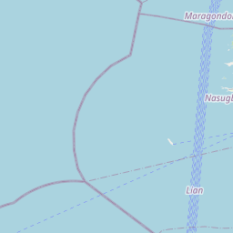
Distance Map Between Bay and Taytay
Bay, Calamba, Philippines ↔ Taytay, Calamba, Philippines = 28 miles = 45 km.


How far is it between Bay and Taytay
Bay is located in Philippines with (14.1837,121.2855) coordinates and Taytay is located in Philippines with (14.5588,121.1329) coordinates. The calculated flying distance from Bay to Taytay is equal to 28 miles which is equal to 45 km.
If you want to go by car, the driving distance between Bay and Taytay is 72.15 km. If you ride your car with an average speed of 112 kilometers/hour (70 miles/h), travel time will be 00 hours 38 minutes. Please check the avg. speed travel time table on the right for various options.
Difference between fly and go by a car is 27 km.
| City/Place | Latitude and Longitude | GPS Coordinates |
|---|---|---|
| Bay | 14.1837, 121.2855 | 14° 11´ 1.2480'' N 121° 17´ 7.9440'' E |
| Taytay | 14.5588, 121.1329 | 14° 33´ 31.7880'' N 121° 7´ 58.2600'' E |
Estimated Travel Time Between Bay and Taytay
| Average Speed | Travel Time |
|---|---|
| 30 mph (48 km/h) | 01 hours 30 minutes |
| 40 mph (64 km/h) | 01 hours 07 minutes |
| 50 mph (80 km/h) | 00 hours 54 minutes |
| 60 mph (97 km/h) | 00 hours 44 minutes |
| 70 mph (112 km/h) | 00 hours 38 minutes |
| 75 mph (120 km/h) | 00 hours 36 minutes |
Related Distances from Bay
| Cities | Distance |
|---|---|
| Bay to Los Banos | 6 km |
| Bay to Pila 2 | 13 km |
| Bay to Calauan | 6 km |
| Bay to Paete | 36 km |
| Bay to Imus | 65 km |
Related Distances to Taytay
| Cities | Distance |
|---|---|
| Antipolo to Taytay | 7 km |
| Binangonan to Taytay | 13 km |
| Tanay to Taytay | 28 km |
| Taguig to Taytay | 10 km |
| Cavite City to Taytay | 51 km |