Distance from Bayan to Tieli
Distance between Bayan and Tieli is 112 kilometers (70 miles).
Driving distance from Bayan to Tieli is 179 kilometers (111 miles).
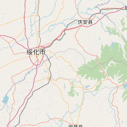
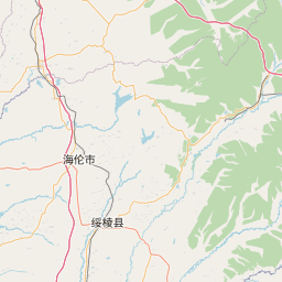
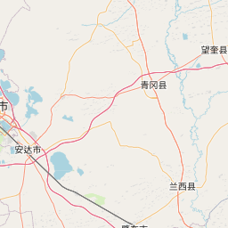
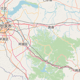
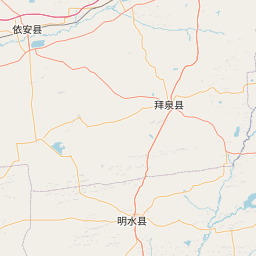
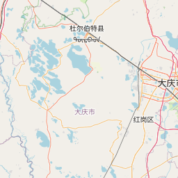
Distance Map Between Bayan and Tieli
Bayan, Harbin, China ↔ Tieli, Harbin, China = 70 miles = 112 km.


How far is it between Bayan and Tieli
Bayan is located in China with (46.0756,127.3984) coordinates and Tieli is located in China with (46.9804,128.045) coordinates. The calculated flying distance from Bayan to Tieli is equal to 70 miles which is equal to 112 km.
If you want to go by car, the driving distance between Bayan and Tieli is 179.12 km. If you ride your car with an average speed of 112 kilometers/hour (70 miles/h), travel time will be 01 hours 35 minutes. Please check the avg. speed travel time table on the right for various options.
Difference between fly and go by a car is 67 km.
| City/Place | Latitude and Longitude | GPS Coordinates |
|---|---|---|
| Bayan | 46.0756, 127.3984 | 46° 4´ 32.0160'' N 127° 23´ 54.2400'' E |
| Tieli | 46.9804, 128.045 | 46° 58´ 49.5480'' N 128° 2´ 41.8920'' E |
Estimated Travel Time Between Bayan and Tieli
| Average Speed | Travel Time |
|---|---|
| 30 mph (48 km/h) | 03 hours 43 minutes |
| 40 mph (64 km/h) | 02 hours 47 minutes |
| 50 mph (80 km/h) | 02 hours 14 minutes |
| 60 mph (97 km/h) | 01 hours 50 minutes |
| 70 mph (112 km/h) | 01 hours 35 minutes |
| 75 mph (120 km/h) | 01 hours 29 minutes |
Related Distances from Bayan
| Cities | Distance |
|---|---|
| Bayan to Wuchang | 201 km |
| Bayan to Nehe | 533 km |
| Bayan to Bei An | 290 km |
| Bayan to Boli | 336 km |
| Bayan to Shuangyashan | 392 km |
Related Distances to Tieli
| Cities | Distance |
|---|---|
| Benxi to Tieling | 147 km |
| Anshan to Tieling | 181 km |
| Fushun to Tieling | 92 km |
| Haicheng to Tieling | 216 km |
| Mudanjiang to Tieli | 544 km |