Distance from Bayburt to Ordu
Distance between Bayburt and Ordu is 214 kilometers (133 miles).
Driving distance from Bayburt to Ordu is 284 kilometers (176 miles).
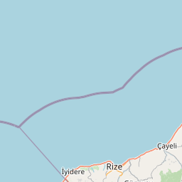
Distance Map Between Bayburt and Ordu
Bayburt, Turkey ↔ Ordu, Turkey = 133 miles = 214 km.


How far is it between Bayburt and Ordu
Bayburt is located in Turkey with (40.2589,40.2278) coordinates and Ordu is located in Turkey with (40.9847,37.8789) coordinates. The calculated flying distance from Bayburt to Ordu is equal to 133 miles which is equal to 214 km.
If you want to go by car, the driving distance between Bayburt and Ordu is 283.99 km. If you ride your car with an average speed of 112 kilometers/hour (70 miles/h), travel time will be 02 hours 32 minutes. Please check the avg. speed travel time table on the right for various options.
Difference between fly and go by a car is 70 km.
| City/Place | Latitude and Longitude | GPS Coordinates |
|---|---|---|
| Bayburt | 40.2589, 40.2278 | 40° 15´ 32.0040'' N 40° 13´ 40.0080'' E |
| Ordu | 40.9847, 37.8789 | 40° 59´ 4.9920'' N 37° 52´ 44.0040'' E |
Estimated Travel Time Between Bayburt and Ordu
| Average Speed | Travel Time |
|---|---|
| 30 mph (48 km/h) | 05 hours 54 minutes |
| 40 mph (64 km/h) | 04 hours 26 minutes |
| 50 mph (80 km/h) | 03 hours 32 minutes |
| 60 mph (97 km/h) | 02 hours 55 minutes |
| 70 mph (112 km/h) | 02 hours 32 minutes |
| 75 mph (120 km/h) | 02 hours 21 minutes |
Related Distances from Bayburt
| Cities | Distance |
|---|---|
| Bayburt to Istanbul | 1131 km |
| Bayburt to Trabzon | 156 km |
| Bayburt to Kahramanmaras | 674 km |
| Bayburt to Kirklareli | 1348 km |
| Bayburt to Yozgat | 573 km |
Related Distances to Ordu
| Cities | Distance |
|---|---|
| Istanbul to Ordu | 893 km |
| Giresun to Ordu | 46 km |
| Amasya to Ordu | 274 km |
| Bolu to Ordu | 624 km |
| Bursa to Ordu | 895 km |