Distance from Bayburt to Tabriz
Distance between Bayburt and Tabriz is 576 kilometers (358 miles).
Driving distance from Bayburt to Tabriz is 710 kilometers (441 miles).
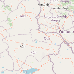
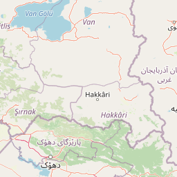
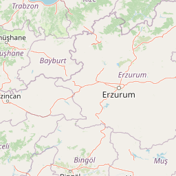
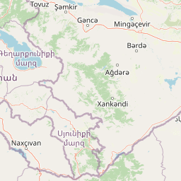
Distance Map Between Bayburt and Tabriz
Bayburt, Turkey ↔ Tabriz, Iran = 358 miles = 576 km.


How far is it between Bayburt and Tabrīz
Bayburt is located in Turkey with (40.2589,40.2278) coordinates and Tabriz is located in Iran with (38.08,46.2919) coordinates. The calculated flying distance from Bayburt to Tabriz is equal to 358 miles which is equal to 576 km.
If you want to go by car, the driving distance between Bayburt and Tabriz is 710.46 km. If you ride your car with an average speed of 112 kilometers/hour (70 miles/h), travel time will be 06 hours 20 minutes. Please check the avg. speed travel time table on the right for various options.
Difference between fly and go by a car is 134 km.
| City/Place | Latitude and Longitude | GPS Coordinates |
|---|---|---|
| Bayburt | 40.2589, 40.2278 | 40° 15´ 32.0040'' N 40° 13´ 40.0080'' E |
| Tabriz | 38.08, 46.2919 | 38° 4´ 48.0000'' N 46° 17´ 30.8400'' E |
Estimated Travel Time Between Bayburt and Tabrīz
| Average Speed | Travel Time |
|---|---|
| 30 mph (48 km/h) | 14 hours 48 minutes |
| 40 mph (64 km/h) | 11 hours 06 minutes |
| 50 mph (80 km/h) | 08 hours 52 minutes |
| 60 mph (97 km/h) | 07 hours 19 minutes |
| 70 mph (112 km/h) | 06 hours 20 minutes |
| 75 mph (120 km/h) | 05 hours 55 minutes |
Related Distances from Bayburt
| Cities | Distance |
|---|---|
| Bayburt to Tehran | 1336 km |
| Bayburt to Karaj | 1297 km |
| Bayburt to Mashhad | 2238 km |
| Bayburt to Isfahan | 1608 km |
| Bayburt to Tabriz | 710 km |
Related Distances to Tabriz
| Cities | Distance |
|---|---|
| Van to Tabriz | 335 km |
| Istanbul to Tabriz | 1826 km |
| Ankara to Tabriz | 1456 km |
| Erzurum to Tabriz | 587 km |
| Igdir to Tabriz | 364 km |