Distance from Bechar to Tindouf
Distance between Bechar and Tindouf is 722 kilometers (448 miles).
Driving distance from Bechar to Tindouf is 802 kilometers (498 miles).
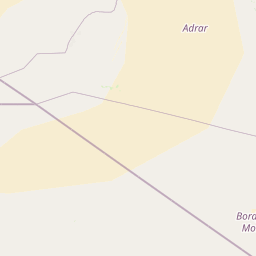
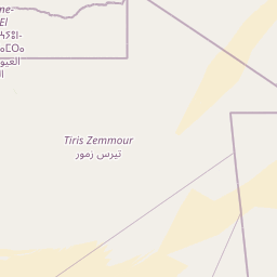
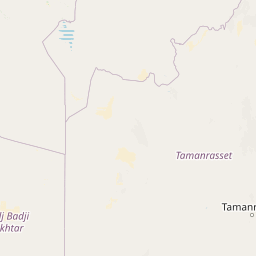
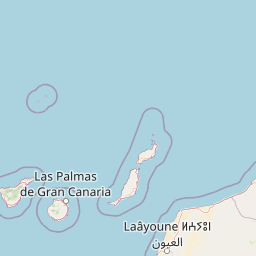
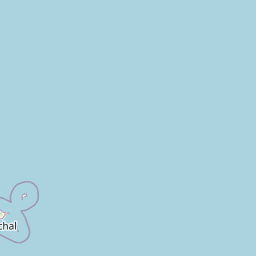
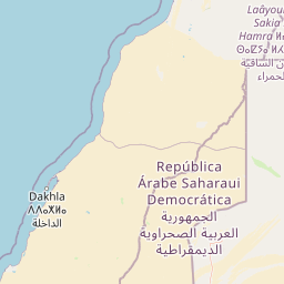
Distance Map Between Bechar and Tindouf
Bechar, Algeria ↔ Tindouf, Algeria = 448 miles = 722 km.


How far is it between Béchar and Tindouf
Bechar is located in Algeria with (31.6167,-2.2167) coordinates and Tindouf is located in Algeria with (27.6711,-8.1474) coordinates. The calculated flying distance from Bechar to Tindouf is equal to 448 miles which is equal to 722 km.
If you want to go by car, the driving distance between Bechar and Tindouf is 801.99 km. If you ride your car with an average speed of 112 kilometers/hour (70 miles/h), travel time will be 07 hours 09 minutes. Please check the avg. speed travel time table on the right for various options.
Difference between fly and go by a car is 80 km.
| City/Place | Latitude and Longitude | GPS Coordinates |
|---|---|---|
| Bechar | 31.6167, -2.2167 | 31° 37´ 0.0120'' N 2° 13´ 0.0120'' W |
| Tindouf | 27.6711, -8.1474 | 27° 40´ 15.9960'' N 8° 8´ 50.7480'' W |
Estimated Travel Time Between Béchar and Tindouf
| Average Speed | Travel Time |
|---|---|
| 30 mph (48 km/h) | 16 hours 42 minutes |
| 40 mph (64 km/h) | 12 hours 31 minutes |
| 50 mph (80 km/h) | 10 hours 01 minutes |
| 60 mph (97 km/h) | 08 hours 16 minutes |
| 70 mph (112 km/h) | 07 hours 09 minutes |
| 75 mph (120 km/h) | 06 hours 40 minutes |
Related Distances from Bechar
| Cities | Distance |
|---|---|
| Bechar to Ouargla | 941 km |
| Bechar to El Bayadh | 439 km |
| Bechar to Tindouf | 802 km |
| Bechar to Laghouat | 659 km |
| Bechar to Tamanrasset | 1582 km |
Related Distances to Tindouf
| Cities | Distance |
|---|---|
| Algiers to Tindouf | 1749 km |
| Bechar to Tindouf | 802 km |
| Oran to Tindouf | 1479 km |
| Adrar to Tindouf | 1190 km |
| Mostaganem to Tindouf | 1449 km |