Distance from Becontree to Bexley
Distance between Becontree and Bexley is 12 kilometers (8 miles).
Driving distance from Becontree to Bexley is 31 kilometers (19 miles).
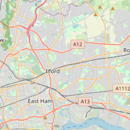
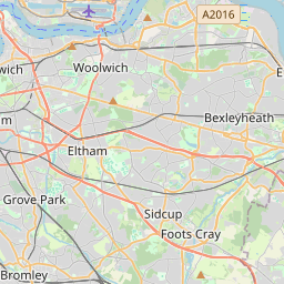
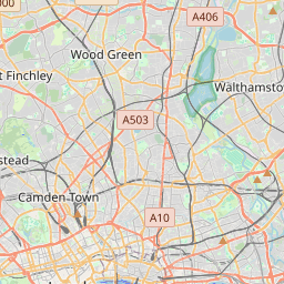
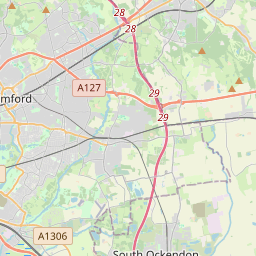
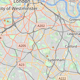
Distance Map Between Becontree and Bexley
Becontree, London, United Kingdom ↔ Bexley, London, United Kingdom = 8 miles = 12 km.

How far is it between Becontree and Bexley
Becontree is located in United Kingdom with (51.5529,0.129) coordinates and Bexley is located in United Kingdom with (51.4416,0.1487) coordinates. The calculated flying distance from Becontree to Bexley is equal to 8 miles which is equal to 12 km.
If you want to go by car, the driving distance between Becontree and Bexley is 30.89 km. If you ride your car with an average speed of 112 kilometers/hour (70 miles/h), travel time will be 00 hours 16 minutes. Please check the avg. speed travel time table on the right for various options.
Difference between fly and go by a car is 19 km.
| City/Place | Latitude and Longitude | GPS Coordinates |
|---|---|---|
| Becontree | 51.5529, 0.129 | 51° 33´ 10.4400'' N 0° 7´ 44.4000'' E |
| Bexley | 51.4416, 0.1487 | 51° 26´ 29.8320'' N 0° 8´ 55.1760'' E |
Estimated Travel Time Between Becontree and Bexley
| Average Speed | Travel Time |
|---|---|
| 30 mph (48 km/h) | 00 hours 38 minutes |
| 40 mph (64 km/h) | 00 hours 28 minutes |
| 50 mph (80 km/h) | 00 hours 23 minutes |
| 60 mph (97 km/h) | 00 hours 19 minutes |
| 70 mph (112 km/h) | 00 hours 16 minutes |
| 75 mph (120 km/h) | 00 hours 15 minutes |
Related Distances from Becontree
| Cities | Distance |
|---|---|
| Becontree to Dagenham | 3 km |
| Becontree to East Grinstead | 74 km |
| Becontree to Exeter | 338 km |
| Becontree to Trowbridge | 249 km |
| Becontree to City Of London | 19 km |
Related Distances to Bexley
| Cities | Distance |
|---|---|
| Beckenham to Bexley | 18 km |
| Bexhill On Sea to Bexley | 94 km |
| South Croydon to Bexley | 24 km |
| Ashford to Bexley | 73 km |
| Bedford to Bexley | 134 km |