Distance from Bedford to High Wycombe
Distance between Bedford and High Wycombe is 59 kilometers (37 miles).
Driving distance from Bedford to High Wycombe is 102 kilometers (64 miles).
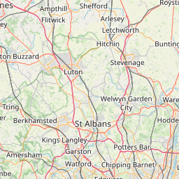
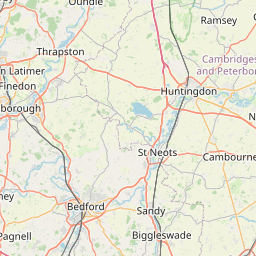
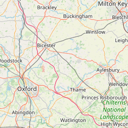
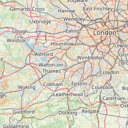
Distance Map Between Bedford and High Wycombe
Bedford, London, United Kingdom ↔ High Wycombe, London, United Kingdom = 37 miles = 59 km.

How far is it between Bedford and High Wycombe
Bedford is located in United Kingdom with (52.1346,-0.4663) coordinates and High Wycombe is located in United Kingdom with (51.6291,-0.7493) coordinates. The calculated flying distance from Bedford to High Wycombe is equal to 37 miles which is equal to 59 km.
If you want to go by car, the driving distance between Bedford and High Wycombe is 102.33 km. If you ride your car with an average speed of 112 kilometers/hour (70 miles/h), travel time will be 00 hours 54 minutes. Please check the avg. speed travel time table on the right for various options.
Difference between fly and go by a car is 43 km.
| City/Place | Latitude and Longitude | GPS Coordinates |
|---|---|---|
| Bedford | 52.1346, -0.4663 | 52° 8´ 4.5240'' N 0° 27´ 58.7520'' W |
| High Wycombe | 51.6291, -0.7493 | 51° 37´ 44.6520'' N 0° 44´ 57.6240'' W |
Estimated Travel Time Between Bedford and High Wycombe
| Average Speed | Travel Time |
|---|---|
| 30 mph (48 km/h) | 02 hours 07 minutes |
| 40 mph (64 km/h) | 01 hours 35 minutes |
| 50 mph (80 km/h) | 01 hours 16 minutes |
| 60 mph (97 km/h) | 01 hours 03 minutes |
| 70 mph (112 km/h) | 00 hours 54 minutes |
| 75 mph (120 km/h) | 00 hours 51 minutes |
Related Distances from Bedford
| Cities | Distance |
|---|---|
| Bedford to Bedworth | 104 km |
| Bedford to Belper | 164 km |
| Bedford to Bentley | 198 km |
| Bedford to Berkhamsted | 67 km |
| Bedford to Berwick Upon Tweed | 476 km |
| Bedford to Beverley | 234 km |
| Bedford to Bexhill On Sea | 216 km |
| Bedford to Bexley | 134 km |
| Bedford to Bicester | 64 km |
| Bedford to Bideford | 365 km |
Related Distances to High Wycombe
| Cities | Distance |
|---|---|
| Earlsfield to High Wycombe | 57 km |
| Burgess Hill to High Wycombe | 120 km |
| Hastings to High Wycombe | 163 km |
| Barnsley to High Wycombe | 282 km |
| Basingstoke to High Wycombe | 63 km |
| Hemel Hempstead to High Wycombe | 47 km |
| Harlow to High Wycombe | 96 km |
| Blackburn to High Wycombe | 328 km |
| Telford to High Wycombe | 203 km |
| Bradford to High Wycombe | 333 km |