Distance from Bedford to Plymouth
Distance between Bedford and Plymouth is 322 kilometers (200 miles).
Driving distance from Bedford to Plymouth is 392 kilometers (244 miles).
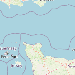
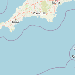
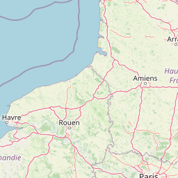
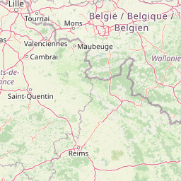
Distance Map Between Bedford and Plymouth
Bedford, London, United Kingdom ↔ Plymouth, London, United Kingdom = 200 miles = 322 km.


How far is it between Bedford and Plymouth
Bedford is located in United Kingdom with (52.1346,-0.4663) coordinates and Plymouth is located in United Kingdom with (50.3715,-4.1431) coordinates. The calculated flying distance from Bedford to Plymouth is equal to 200 miles which is equal to 322 km.
If you want to go by car, the driving distance between Bedford and Plymouth is 392.36 km. If you ride your car with an average speed of 112 kilometers/hour (70 miles/h), travel time will be 03 hours 30 minutes. Please check the avg. speed travel time table on the right for various options.
Difference between fly and go by a car is 70 km.
| City/Place | Latitude and Longitude | GPS Coordinates |
|---|---|---|
| Bedford | 52.1346, -0.4663 | 52° 8´ 4.5240'' N 0° 27´ 58.7520'' W |
| Plymouth | 50.3715, -4.1431 | 50° 22´ 17.5080'' N 4° 8´ 34.9800'' W |
Estimated Travel Time Between Bedford and Plymouth
| Average Speed | Travel Time |
|---|---|
| 30 mph (48 km/h) | 08 hours 10 minutes |
| 40 mph (64 km/h) | 06 hours 07 minutes |
| 50 mph (80 km/h) | 04 hours 54 minutes |
| 60 mph (97 km/h) | 04 hours 02 minutes |
| 70 mph (112 km/h) | 03 hours 30 minutes |
| 75 mph (120 km/h) | 03 hours 16 minutes |
Related Distances from Bedford
| Cities | Distance |
|---|---|
| Bedford to City Of London | 94 km |
| Bedford to Cambridge | 50 km |
| Bedford to Manchester | 265 km |
| Bedford to Birmingham | 133 km |
| Bedford to Milton Keynes | 30 km |
Related Distances to Plymouth
| Cities | Distance |
|---|---|
| Exeter to Plymouth | 74 km |
| City Of London to Plymouth | 385 km |
| Bristol to Plymouth | 195 km |
| Liverpool to Plymouth | 473 km |
| Manchester to Plymouth | 468 km |