Distance from Beersel to Mol
Distance between Beersel and Mol is 74 kilometers (46 miles).
Distance Map Between Beersel and Mol
Beersel, , Belgium ↔ Mol, , Belgium = 46 miles = 74 km.

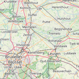
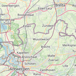
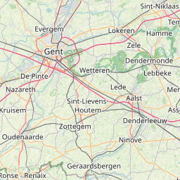


Leaflet | © OpenStreetMap
How far is it between Beersel and Mol
Beersel is located in Belgium with (50.7659,4.3002) coordinates and Mol is located in Belgium with (51.1919,5.1166) coordinates. The calculated flying distance from Beersel to Mol is equal to 46 miles which is equal to 74 km.
| City/Place | Latitude and Longitude | GPS Coordinates |
|---|---|---|
| Beersel | 50.7659, 4.3002 | 50° 45´ 57.2040'' N 4° 18´ 0.7200'' E |
| Mol | 51.1919, 5.1166 | 51° 11´ 30.7680'' N 5° 6´ 59.8320'' E |
Beersel, , Belgium
Related Distances from Beersel
| Cities | Distance |
|---|---|
| Beersel to Wetteren | 53 km |
| Beersel to Leuven | 53 km |
| Beersel to Zaventem | 33 km |
| Beersel to Overijse | 41 km |
| Beersel to Hamme | 63 km |
Mol, , Belgium
Related Distances to Mol
| Cities | Distance |
|---|---|
| Antwerpen to Mol | 58 km |
| Brugge to Mol | 165 km |
| Geel to Mol | 14 km |
| Gent to Mol | 115 km |
| Genk to Mol | 51 km |