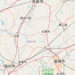
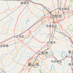
Distance from Beipiao to Nantai
Distance between Beipiao and Nantai is 195 kilometers (121 miles).
Driving distance from Beipiao to Nantai is 334 kilometers (208 miles).
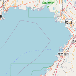
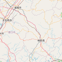
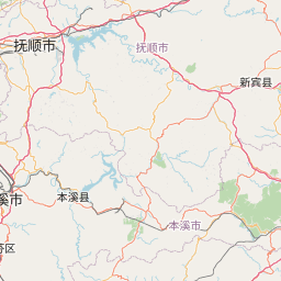
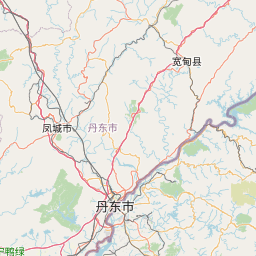
Distance Map Between Beipiao and Nantai
Beipiao, Shenyang, China ↔ Nantai, Shenyang, China = 121 miles = 195 km.


How far is it between Beipiao and Nantai
Beipiao is located in China with (41.7919,120.7792) coordinates and Nantai is located in China with (40.9241,122.8044) coordinates. The calculated flying distance from Beipiao to Nantai is equal to 121 miles which is equal to 195 km.
If you want to go by car, the driving distance between Beipiao and Nantai is 334.27 km. If you ride your car with an average speed of 112 kilometers/hour (70 miles/h), travel time will be 02 hours 59 minutes. Please check the avg. speed travel time table on the right for various options.
Difference between fly and go by a car is 139 km.
| City/Place | Latitude and Longitude | GPS Coordinates |
|---|---|---|
| Beipiao | 41.7919, 120.7792 | 41° 47´ 30.9840'' N 120° 46´ 45.0120'' E |
| Nantai | 40.9241, 122.8044 | 40° 55´ 26.7600'' N 122° 48´ 15.7320'' E |
Estimated Travel Time Between Beipiao and Nantai
| Average Speed | Travel Time |
|---|---|
| 30 mph (48 km/h) | 06 hours 57 minutes |
| 40 mph (64 km/h) | 05 hours 13 minutes |
| 50 mph (80 km/h) | 04 hours 10 minutes |
| 60 mph (97 km/h) | 03 hours 26 minutes |
| 70 mph (112 km/h) | 02 hours 59 minutes |
| 75 mph (120 km/h) | 02 hours 47 minutes |
Related Distances from Beipiao
| Cities | Distance |
|---|---|
| Beipiao to Benxi | 373 km |
| Beipiao to Changtu | 382 km |
| Beipiao to Chaoyang | 43 km |
| Beipiao to Dalian | 528 km |
| Beipiao to Dalianwan | 518 km |
| Beipiao to Dashiqiao | 319 km |
| Beipiao to Dongling | 296 km |
| Beipiao to Fengcheng | 491 km |
| Beipiao to Fushun | 325 km |
| Beipiao to Fuxin | 101 km |
Related Distances to Nantai
| Cities | Distance |
|---|---|
| Jinzhou to Nantai | 198 km |
| Haicheng to Nantai | 11 km |
| Dashiqiao to Nantai | 60 km |
| Anshan to Nantai | 29 km |
| Huanren to Nantai | 350 km |
| Fushun to Nantai | 185 km |
| Lingyuan to Nantai | 377 km |
| Liaozhong to Nantai | 93 km |
| Lianshan to Nantai | 221 km |
| Linghai to Nantai | 165 km |