Distance from Beirut to Damanhur
Distance between Beirut and Damanhur is 568 kilometers (353 miles).
Driving distance from Beirut to Damanhur is 1318 kilometers (819 miles).
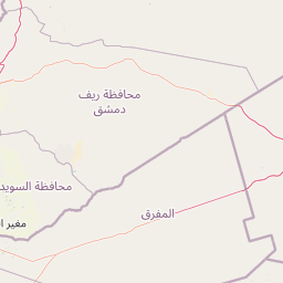
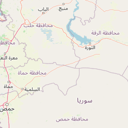
Distance Map Between Beirut and Damanhur
Beirut, Lebanon ↔ Damanhur, Egypt = 353 miles = 568 km.


How far is it between Beirut and Damanhūr
Beirut is located in Lebanon with (33.8889,35.4944) coordinates and Damanhur is located in Egypt with (31.0341,30.4682) coordinates. The calculated flying distance from Beirut to Damanhur is equal to 353 miles which is equal to 568 km.
If you want to go by car, the driving distance between Beirut and Damanhur is 1317.68 km. If you ride your car with an average speed of 112 kilometers/hour (70 miles/h), travel time will be 11 hours 45 minutes. Please check the avg. speed travel time table on the right for various options.
Difference between fly and go by a car is 750 km.
| City/Place | Latitude and Longitude | GPS Coordinates |
|---|---|---|
| Beirut | 33.8889, 35.4944 | 33° 53´ 20.1840'' N 35° 29´ 39.9120'' E |
| Damanhur | 31.0341, 30.4682 | 31° 2´ 2.6880'' N 30° 28´ 5.6280'' E |
Estimated Travel Time Between Beirut and Damanhūr
| Average Speed | Travel Time |
|---|---|
| 30 mph (48 km/h) | 27 hours 27 minutes |
| 40 mph (64 km/h) | 20 hours 35 minutes |
| 50 mph (80 km/h) | 16 hours 28 minutes |
| 60 mph (97 km/h) | 13 hours 35 minutes |
| 70 mph (112 km/h) | 11 hours 45 minutes |
| 75 mph (120 km/h) | 10 hours 58 minutes |
Related Distances from Beirut
| Cities | Distance |
|---|---|
| Beirut to Cairo | 2568 km |
| Beirut to Alexandria | 1233 km |
| Beirut to Port Said | 2654 km |
| Beirut to Hurghada | 962 km |
| Beirut to Suez | 1063 km |