Distance from Bejaia to Chlef
Distance between Bejaia and Chlef is 342 kilometers (212 miles).
Driving distance from Bejaia to Chlef is 429 kilometers (266 miles).
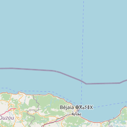
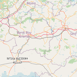
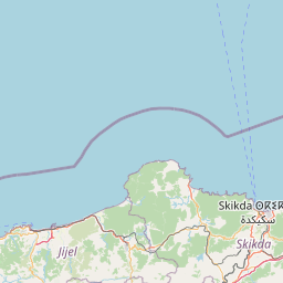
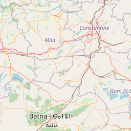
Distance Map Between Bejaia and Chlef
Bejaia, Algeria ↔ Chlef, Algeria = 212 miles = 342 km.


How far is it between Bejaïa and Chlef
Bejaia is located in Algeria with (36.7559,5.0843) coordinates and Chlef is located in Algeria with (36.1653,1.3345) coordinates. The calculated flying distance from Bejaia to Chlef is equal to 212 miles which is equal to 342 km.
If you want to go by car, the driving distance between Bejaia and Chlef is 428.84 km. If you ride your car with an average speed of 112 kilometers/hour (70 miles/h), travel time will be 03 hours 49 minutes. Please check the avg. speed travel time table on the right for various options.
Difference between fly and go by a car is 87 km.
| City/Place | Latitude and Longitude | GPS Coordinates |
|---|---|---|
| Bejaia | 36.7559, 5.0843 | 36° 45´ 21.1320'' N 5° 5´ 3.5880'' E |
| Chlef | 36.1653, 1.3345 | 36° 9´ 54.9000'' N 1° 20´ 4.2720'' E |
Estimated Travel Time Between Bejaïa and Chlef
| Average Speed | Travel Time |
|---|---|
| 30 mph (48 km/h) | 08 hours 56 minutes |
| 40 mph (64 km/h) | 06 hours 42 minutes |
| 50 mph (80 km/h) | 05 hours 21 minutes |
| 60 mph (97 km/h) | 04 hours 25 minutes |
| 70 mph (112 km/h) | 03 hours 49 minutes |
| 75 mph (120 km/h) | 03 hours 34 minutes |
Related Distances from Bejaia
| Cities | Distance |
|---|---|
| Bejaia to Constantine | 229 km |
| Bejaia to Bouira | 143 km |
| Bejaia to Setif | 121 km |
| Bejaia to Jijel | 92 km |
| Bejaia to Tizi Ouzou | 137 km |
Related Distances to Chlef
| Cities | Distance |
|---|---|
| Ain Defla to Chlef | 62 km |
| Algiers to Chlef | 206 km |
| Blida to Chlef | 162 km |
| Batna to Chlef | 583 km |
| Constantine to Chlef | 579 km |