Distance from Bela to Ghazipur
Distance between Bela and Ghazipur is 163 kilometers (101 miles).
Driving distance from Bela to Ghazipur is 201 kilometers (125 miles).
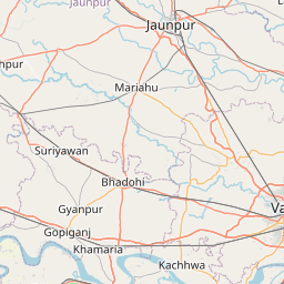
Distance Map Between Bela and Ghazipur
Bela, Lucknow, India ↔ Ghazipur, Lucknow, India = 101 miles = 163 km.


How far is it between Bela and Ghāzīpur
Bela is located in India with (25.921,81.9991) coordinates and Ghazipur is located in India with (25.5805,83.5806) coordinates. The calculated flying distance from Bela to Ghazipur is equal to 101 miles which is equal to 163 km.
If you want to go by car, the driving distance between Bela and Ghazipur is 200.5 km. If you ride your car with an average speed of 112 kilometers/hour (70 miles/h), travel time will be 01 hours 47 minutes. Please check the avg. speed travel time table on the right for various options.
Difference between fly and go by a car is 38 km.
| City/Place | Latitude and Longitude | GPS Coordinates |
|---|---|---|
| Bela | 25.921, 81.9991 | 25° 55´ 15.7440'' N 81° 59´ 56.7240'' E |
| Ghazipur | 25.5805, 83.5806 | 25° 34´ 49.8720'' N 83° 34´ 50.0880'' E |
Estimated Travel Time Between Bela and Ghāzīpur
| Average Speed | Travel Time |
|---|---|
| 30 mph (48 km/h) | 04 hours 10 minutes |
| 40 mph (64 km/h) | 03 hours 07 minutes |
| 50 mph (80 km/h) | 02 hours 30 minutes |
| 60 mph (97 km/h) | 02 hours 04 minutes |
| 70 mph (112 km/h) | 01 hours 47 minutes |
| 75 mph (120 km/h) | 01 hours 40 minutes |
Related Distances from Bela
| Cities | Distance |
|---|---|
| Bela to Bidhuna | 346 km |
| Bela to Kanpur | 236 km |
| Bela to Kannauj | 288 km |
| Bela to Etawah | 389 km |
| Bela to Chhibramau | 329 km |
Related Distances to Ghazipur
| Cities | Distance |
|---|---|
| Azamgarh to Ghazipur | 73 km |
| Chandauli to Ghazipur | 74 km |
| Chunar to Ghazipur | 112 km |
| Ghaziabad to Ghazipur | 884 km |
| Bijnor to Ghazipur | 821 km |