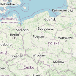
Distance from Belchatow to Leczyca
Distance between Belchatow and Leczyca is 78 kilometers (48 miles).
Distance Map Between Belchatow and Leczyca
Belchatow, Lodz, Poland ↔ Leczyca, Lodz, Poland = 48 miles = 78 km.


Leaflet | © OpenStreetMap
How far is it between Bełchatów and Łęczyca
Belchatow is located in Poland with (51.3688,19.3567) coordinates and Leczyca is located in Poland with (52.0596,19.1997) coordinates. The calculated flying distance from Belchatow to Leczyca is equal to 48 miles which is equal to 78 km.
| City/Place | Latitude and Longitude | GPS Coordinates |
|---|---|---|
| Belchatow | 51.3688, 19.3567 | 51° 22´ 7.7880'' N 19° 21´ 24.1560'' E |
| Leczyca | 52.0596, 19.1997 | 52° 3´ 34.5240'' N 19° 11´ 58.9920'' E |
Belchatow, Lodz, Poland
Related Distances from Belchatow
| Cities | Distance |
|---|---|
| Belchatow to Zgierz | 68 km |
| Belchatow to Piotrkow Trybunalski | 27 km |
| Belchatow to Sieradz | 68 km |
| Belchatow to Ozorkow | 109 km |
| Belchatow to Lask | 32 km |
Leczyca, Lodz, Poland
Related Distances to Leczyca
| Cities | Distance |
|---|---|
| Kutno to Leczyca | 26 km |
| Aleksandrow Lodzki to Leczyca | 31 km |
| Lask to Leczyca | 67 km |
| Glowno to Leczyca | 44 km |
| Konstantynow Lodzki to Leczyca | 40 km |