Distance from Belgorod to Ufa
Distance between Belgorod and Ufa is 1380 kilometers (858 miles).
Driving distance from Belgorod to Ufa is 1604 kilometers (997 miles).
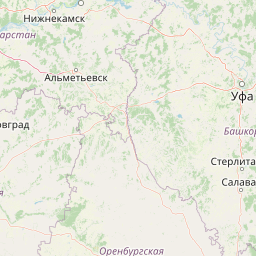
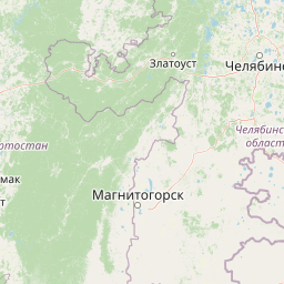
Distance Map Between Belgorod and Ufa
Belgorod, Russia ↔ Ufa, Russia = 858 miles = 1380 km.


How far is it between Belgorod and Ufa
Belgorod is located in Russia with (50.6107,36.5802) coordinates and Ufa is located in Russia with (54.7431,55.9678) coordinates. The calculated flying distance from Belgorod to Ufa is equal to 858 miles which is equal to 1380 km.
If you want to go by car, the driving distance between Belgorod and Ufa is 1604.23 km. If you ride your car with an average speed of 112 kilometers/hour (70 miles/h), travel time will be 14 hours 19 minutes. Please check the avg. speed travel time table on the right for various options.
Difference between fly and go by a car is 224 km.
| City/Place | Latitude and Longitude | GPS Coordinates |
|---|---|---|
| Belgorod | 50.6107, 36.5802 | 50° 36´ 38.6640'' N 36° 34´ 48.5400'' E |
| Ufa | 54.7431, 55.9678 | 54° 44´ 35.0160'' N 55° 58´ 4.0440'' E |
Estimated Travel Time Between Belgorod and Ufa
| Average Speed | Travel Time |
|---|---|
| 30 mph (48 km/h) | 33 hours 25 minutes |
| 40 mph (64 km/h) | 25 hours 03 minutes |
| 50 mph (80 km/h) | 20 hours 03 minutes |
| 60 mph (97 km/h) | 16 hours 32 minutes |
| 70 mph (112 km/h) | 14 hours 19 minutes |
| 75 mph (120 km/h) | 13 hours 22 minutes |
Related Distances from Belgorod
| Cities | Distance |
|---|---|
| Belgorod to Moscow | 661 km |
| Belgorod to Kursk | 142 km |
| Belgorod to Voronezh | 254 km |
| Belgorod to Saint Petersburg | 1376 km |
| Belgorod to Rostov Na Donu | 700 km |
Related Distances to Ufa
| Cities | Distance |
|---|---|
| Moscow to Ufa | 1340 km |
| Kazan to Ufa | 524 km |
| Yekaterinburg to Ufa | 547 km |
| Saint Petersburg to Ufa | 2044 km |
| Samara to Ufa | 465 km |