Distance from Bello to Urrao
Distance between Bello and Urrao is 64 kilometers (40 miles).
Driving distance from Bello to Urrao is 130 kilometers (81 miles).
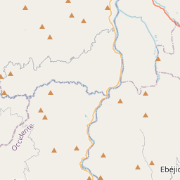
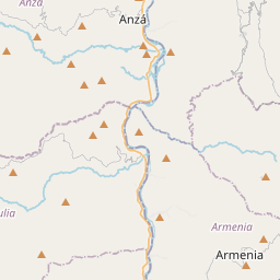
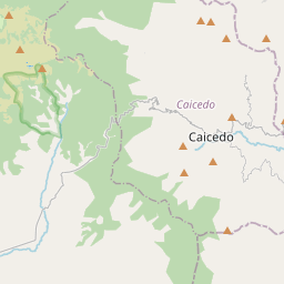
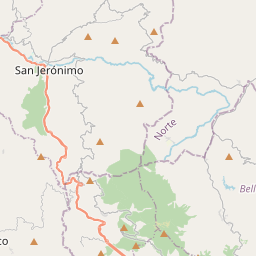
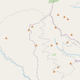
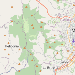
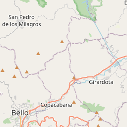
Distance Map Between Bello and Urrao
Bello, Medellin, Colombia ↔ Urrao, Medellin, Colombia = 40 miles = 64 km.


How far is it between Bello and Urrao
Bello is located in Colombia with (6.3373,-75.558) coordinates and Urrao is located in Colombia with (6.317,-76.1342) coordinates. The calculated flying distance from Bello to Urrao is equal to 40 miles which is equal to 64 km.
If you want to go by car, the driving distance between Bello and Urrao is 130.04 km. If you ride your car with an average speed of 112 kilometers/hour (70 miles/h), travel time will be 01 hours 09 minutes. Please check the avg. speed travel time table on the right for various options.
Difference between fly and go by a car is 66 km.
| City/Place | Latitude and Longitude | GPS Coordinates |
|---|---|---|
| Bello | 6.3373, -75.558 | 6° 20´ 14.3520'' N 75° 33´ 28.6200'' W |
| Urrao | 6.317, -76.1342 | 6° 19´ 1.0560'' N 76° 8´ 3.1200'' W |
Estimated Travel Time Between Bello and Urrao
| Average Speed | Travel Time |
|---|---|
| 30 mph (48 km/h) | 02 hours 42 minutes |
| 40 mph (64 km/h) | 02 hours 01 minutes |
| 50 mph (80 km/h) | 01 hours 37 minutes |
| 60 mph (97 km/h) | 01 hours 20 minutes |
| 70 mph (112 km/h) | 01 hours 09 minutes |
| 75 mph (120 km/h) | 01 hours 05 minutes |
Related Distances from Bello
| Cities | Distance |
|---|---|
| Bello to Envigado | 21 km |
| Bello to Rionegro | 46 km |
| Bello to Itagui | 19 km |
| Bello to Turbo | 345 km |
| Bello to Caldas | 33 km |
Related Distances to Urrao
| Cities | Distance |
|---|---|
| Bello to Urrao | 130 km |
| Turbo to Urrao | 358 km |
| Los Andes 2 to Urrao | 134 km |
| Segovia 2 to Urrao | 317 km |
| La Estrella to Urrao | 147 km |