Distance from Belovo to Tashtagol
Distance between Belovo and Tashtagol is 211 kilometers (131 miles).
Distance Map Between Belovo and Tashtagol
Belovo, Kemerovo, Russia ↔ Tashtagol, Kemerovo, Russia = 131 miles = 211 km.

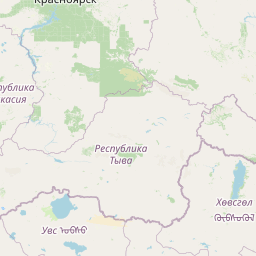

Leaflet | © OpenStreetMap
How far is it between Belovo and Tashtagol
Belovo is located in Russia with (54.4165,86.2976) coordinates and Tashtagol is located in Russia with (52.7657,87.8894) coordinates. The calculated flying distance from Belovo to Tashtagol is equal to 131 miles which is equal to 211 km.
| City/Place | Latitude and Longitude | GPS Coordinates |
|---|---|---|
| Belovo | 54.4165, 86.2976 | 54° 24´ 59.4000'' N 86° 17´ 51.3600'' E |
| Tashtagol | 52.7657, 87.8894 | 52° 45´ 56.5200'' N 87° 53´ 21.8400'' E |
Belovo, Kemerovo, Russia
Related Distances from Belovo
| Cities | Distance |
|---|---|
| Belovo to Yurga | 228 km |
| Belovo to Yashkino | 206 km |
| Belovo to Novokuznetsk | 109 km |
| Belovo to Mezhdurechensk | 199 km |
| Belovo to Myski | 176 km |
Tashtagol, Kemerovo, Russia
Related Distances to Tashtagol
| Cities | Distance |
|---|---|
| Kiselevsk to Tashtagol | 215 km |
| Mezhdurechensk to Tashtagol | 236 km |
| Prokop Yevsk to Tashtagol | 199 km |
| Kaltan to Tashtagol | 141 km |
| Polysayevo to Tashtagol | 287 km |