Distance from Belovo to Tayga
Distance between Belovo and Tayga is 188 kilometers (117 miles).
Driving distance from Belovo to Tayga is 223 kilometers (138 miles).
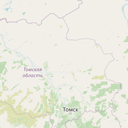
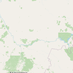
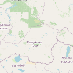
Distance Map Between Belovo and Tayga
Belovo, Kemerovo, Russia ↔ Tayga, Kemerovo, Russia = 117 miles = 188 km.


How far is it between Belovo and Tayga
Belovo is located in Russia with (54.4165,86.2976) coordinates and Tayga is located in Russia with (56.064,85.6224) coordinates. The calculated flying distance from Belovo to Tayga is equal to 117 miles which is equal to 188 km.
If you want to go by car, the driving distance between Belovo and Tayga is 222.69 km. If you ride your car with an average speed of 112 kilometers/hour (70 miles/h), travel time will be 01 hours 59 minutes. Please check the avg. speed travel time table on the right for various options.
Difference between fly and go by a car is 35 km.
| City/Place | Latitude and Longitude | GPS Coordinates |
|---|---|---|
| Belovo | 54.4165, 86.2976 | 54° 24´ 59.4000'' N 86° 17´ 51.3600'' E |
| Tayga | 56.064, 85.6224 | 56° 3´ 50.4720'' N 85° 37´ 20.5680'' E |
Estimated Travel Time Between Belovo and Tayga
| Average Speed | Travel Time |
|---|---|
| 30 mph (48 km/h) | 04 hours 38 minutes |
| 40 mph (64 km/h) | 03 hours 28 minutes |
| 50 mph (80 km/h) | 02 hours 47 minutes |
| 60 mph (97 km/h) | 02 hours 17 minutes |
| 70 mph (112 km/h) | 01 hours 59 minutes |
| 75 mph (120 km/h) | 01 hours 51 minutes |
Related Distances from Belovo
| Cities | Distance |
|---|---|
| Belovo to Yurga | 228 km |
| Belovo to Yashkino | 206 km |
| Belovo to Novokuznetsk | 109 km |
| Belovo to Mezhdurechensk | 199 km |
| Belovo to Myski | 176 km |
Related Distances to Tayga
| Cities | Distance |
|---|---|
| Novokuznetsk to Tayga | 322 km |
| Leninsk Kuznetsky to Tayga | 200 km |
| Kiselevsk to Tayga | 279 km |
| Mezhdurechensk to Tayga | 412 km |
| Kedrovka to Tayga | 89 km |