Distance from Benoni to Soweto
Distance between Benoni and Soweto is 47 kilometers (29 miles).
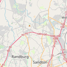
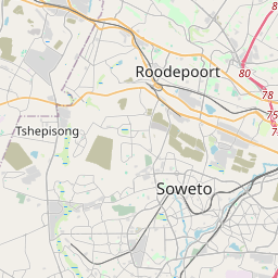
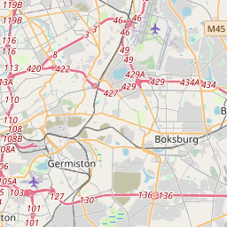
Driving distance from Benoni to Soweto is 60 kilometers (37 miles).
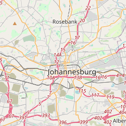
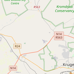
Distance Map Between Benoni and Soweto
Benoni, Pretoria, South Africa ↔ Soweto, Pretoria, South Africa = 29 miles = 47 km.


How far is it between Benoni and Soweto
Benoni is located in South Africa with (-26.1885,28.3208) coordinates and Soweto is located in South Africa with (-26.2678,27.8585) coordinates. The calculated flying distance from Benoni to Soweto is equal to 29 miles which is equal to 47 km.
If you want to go by car, the driving distance between Benoni and Soweto is 60.35 km. If you ride your car with an average speed of 112 kilometers/hour (70 miles/h), travel time will be 00 hours 32 minutes. Please check the avg. speed travel time table on the right for various options.
Difference between fly and go by a car is 13 km.
| City/Place | Latitude and Longitude | GPS Coordinates |
|---|---|---|
| Benoni | -26.1885, 28.3208 | 26° 11´ 18.5280'' S 28° 19´ 14.8080'' E |
| Soweto | -26.2678, 27.8585 | 26° 16´ 4.1160'' S 27° 51´ 30.5640'' E |
Estimated Travel Time Between Benoni and Soweto
| Average Speed | Travel Time |
|---|---|
| 30 mph (48 km/h) | 01 hours 15 minutes |
| 40 mph (64 km/h) | 00 hours 56 minutes |
| 50 mph (80 km/h) | 00 hours 45 minutes |
| 60 mph (97 km/h) | 00 hours 37 minutes |
| 70 mph (112 km/h) | 00 hours 32 minutes |
| 75 mph (120 km/h) | 00 hours 30 minutes |
Related Distances from Benoni
| Cities | Distance |
|---|---|
| Benoni to Boksburg | 8 km |
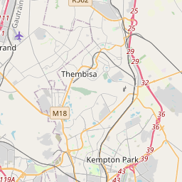
| Benoni to Tembisa | 42 km |
| Benoni to Brakpan | 9 km |
| Benoni to Springs | 15 km |
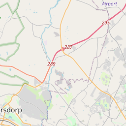
| Benoni to Roodepoort | 65 km |
Related Distances to Soweto
| Cities | Distance |
|---|---|
| Midrand to Soweto | 56 km |
| Boksburg to Soweto | 49 km |
| Diepsloot to Soweto | 50 km |
| Carletonville to Soweto | 53 km |
| Centurion to Soweto | 72 km |