Distance from Benthuizen to Middelharnis
Distance between Benthuizen and Middelharnis is 44 kilometers (27 miles).
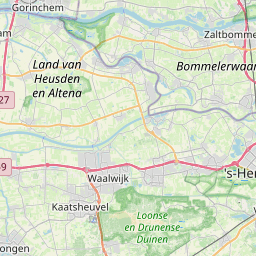
Distance Map Between Benthuizen and Middelharnis
Benthuizen, , Netherlands ↔ Middelharnis, , Netherlands = 27 miles = 44 km.
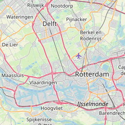
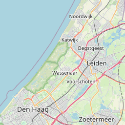
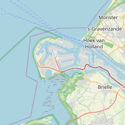
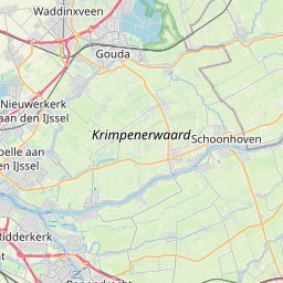
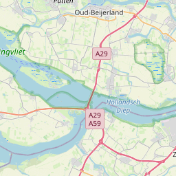


Leaflet | © OpenStreetMap
How far is it between Benthuizen and Middelharnis
Benthuizen is located in Netherlands with (52.0775,4.5444) coordinates and Middelharnis is located in Netherlands with (51.7575,4.1653) coordinates. The calculated flying distance from Benthuizen to Middelharnis is equal to 27 miles which is equal to 44 km.
| City/Place | Latitude and Longitude | GPS Coordinates |
|---|---|---|
| Benthuizen | 52.0775, 4.5444 | 52° 4´ 39.0000'' N 4° 32´ 39.9840'' E |
| Middelharnis | 51.7575, 4.1653 | 51° 45´ 27.0000'' N 4° 9´ 55.0080'' E |
Benthuizen, , Netherlands
Related Distances from Benthuizen
| Cities | Distance |
|---|---|
| Benthuizen to Wassenaar | 21 km |
| Benthuizen to Zwijndrecht | 45 km |
| Benthuizen to Voorhout | 25 km |
| Benthuizen to Zoetermeer | 10 km |
| Benthuizen to Rotterdam | 23 km |
Middelharnis, , Netherlands
Related Distances to Middelharnis
| Cities | Distance |
|---|---|
| Berkel En Rodenrijs to Middelharnis | 63 km |
| Katwijk Aan Zee to Middelharnis | 99 km |
| Delft to Middelharnis | 69 km |
| Ypenburg to Middelharnis | 75 km |
| Hendrik Ido Ambacht to Middelharnis | 55 km |