Distance from Bentonville to Bryant
Distance between Bentonville and Bryant is 252 kilometers (156 miles).
Driving distance from Bentonville to Bryant is 364 kilometers (226 miles).
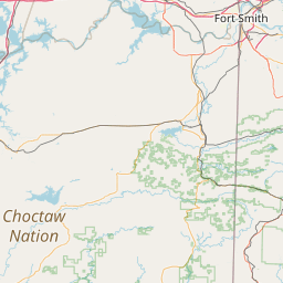
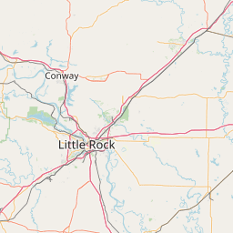
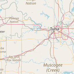
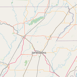
Distance Map Between Bentonville and Bryant
Bentonville, Little Rock, United States ↔ Bryant, Little Rock, United States = 156 miles = 252 km.

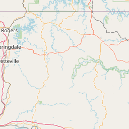
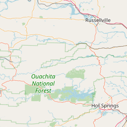

How far is it between Bentonville and Bryant
Bentonville is located in United States with (36.3729,-94.2088) coordinates and Bryant is located in United States with (34.5959,-92.4891) coordinates. The calculated flying distance from Bentonville to Bryant is equal to 156 miles which is equal to 252 km.
If you want to go by car, the driving distance between Bentonville and Bryant is 363.93 km. If you ride your car with an average speed of 112 kilometers/hour (70 miles/h), travel time will be 03 hours 14 minutes. Please check the avg. speed travel time table on the right for various options.
Difference between fly and go by a car is 112 km.
| City/Place | Latitude and Longitude | GPS Coordinates |
|---|---|---|
| Bentonville | 36.3729, -94.2088 | 36° 22´ 22.2600'' N 94° 12´ 31.7520'' W |
| Bryant | 34.5959, -92.4891 | 34° 35´ 45.3480'' N 92° 29´ 20.5800'' W |
Estimated Travel Time Between Bentonville and Bryant
| Average Speed | Travel Time |
|---|---|
| 30 mph (48 km/h) | 07 hours 34 minutes |
| 40 mph (64 km/h) | 05 hours 41 minutes |
| 50 mph (80 km/h) | 04 hours 32 minutes |
| 60 mph (97 km/h) | 03 hours 45 minutes |
| 70 mph (112 km/h) | 03 hours 14 minutes |
| 75 mph (120 km/h) | 03 hours 01 minutes |
Related Distances from Bentonville
| Cities | Distance |
|---|---|
| Bentonville to Bella Vista 2 | 16 km |
| Bentonville to Benton | 373 km |
| Bentonville to Blytheville | 587 km |
| Bentonville to Cabot | 344 km |
| Bentonville to Bryant | 364 km |
Related Distances to Bryant
| Cities | Distance |
|---|---|
| Hot Springs to Bryant | 61 km |
| Conway to Bryant | 69 km |
| Cabot to Bryant | 69 km |
| Pine Bluff to Bryant | 78 km |
| Searcy to Bryant | 110 km |