Distance from Beohari to Maihar
Distance between Beohari and Maihar is 68 kilometers (42 miles).
Driving distance from Beohari to Maihar is 120 kilometers (75 miles).
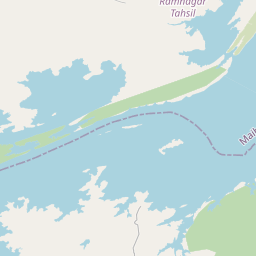
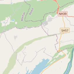
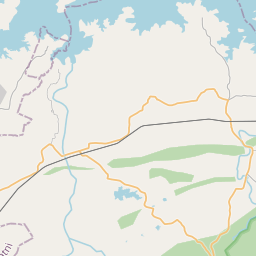
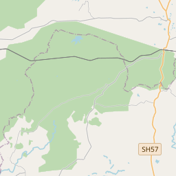
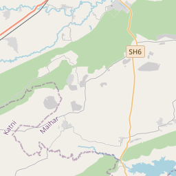
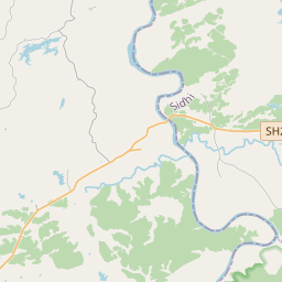
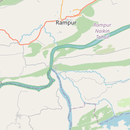
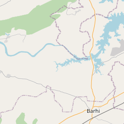
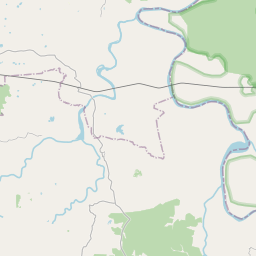
Distance Map Between Beohari and Maihar
Beohari, Bhopal, India ↔ Maihar, Bhopal, India = 42 miles = 68 km.


How far is it between Beohāri and Maihar
Beohari is located in India with (24.0234,81.3781) coordinates and Maihar is located in India with (24.2645,80.7594) coordinates. The calculated flying distance from Beohari to Maihar is equal to 42 miles which is equal to 68 km.
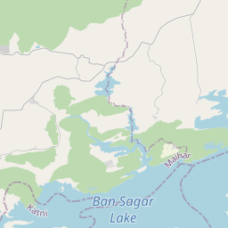
If you want to go by car, the driving distance between Beohari and Maihar is 120.32 km. If you ride your car with an average speed of 112 kilometers/hour (70 miles/h), travel time will be 01 hours 04 minutes. Please check the avg. speed travel time table on the right for various options.
Difference between fly and go by a car is 52 km.
| City/Place | Latitude and Longitude | GPS Coordinates |
|---|---|---|
| Beohari | 24.0234, 81.3781 | 24° 1´ 24.0600'' N 81° 22´ 41.2320'' E |
| Maihar | 24.2645, 80.7594 | 24° 15´ 52.0920'' N 80° 45´ 33.8760'' E |
Estimated Travel Time Between Beohāri and Maihar
| Average Speed | Travel Time |
|---|---|
| 30 mph (48 km/h) | 02 hours 30 minutes |
| 40 mph (64 km/h) | 01 hours 52 minutes |
| 50 mph (80 km/h) | 01 hours 30 minutes |
| 60 mph (97 km/h) | 01 hours 14 minutes |
| 70 mph (112 km/h) | 01 hours 04 minutes |
| 75 mph (120 km/h) | 01 hours 00 minutes |
Related Distances from Beohari
| Cities | Distance |
|---|---|
| Beohari to Shahdol | 89 km |
| Beohari to Sidhi | 78 km |
| Beohari to Umaria | 90 km |
| Beohari to Rewa | 81 km |
| Beohari to Maihar | 120 km |
Related Distances to Maihar
| Cities | Distance |
|---|---|
| Amarpatan to Maihar | 26 km |
| Hatta to Maihar | 163 km |
| Jabalpur to Maihar | 159 km |
| Katangi 2 to Maihar | 360 km |
| Chhatarpur to Maihar | 163 km |