Distance from Beringen to Tielt
Distance between Beringen and Tielt is 133 kilometers (83 miles).
Driving distance from Beringen to Tielt is 155 kilometers (96 miles).
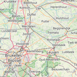
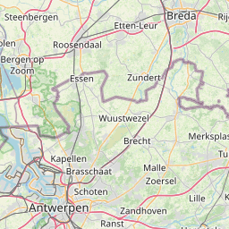
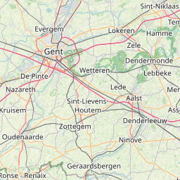
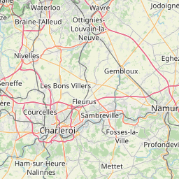
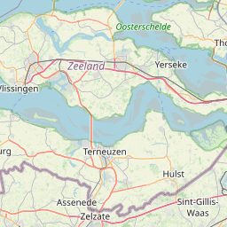
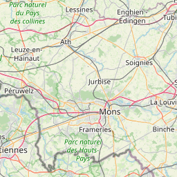
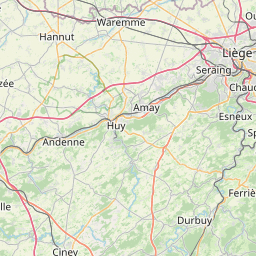
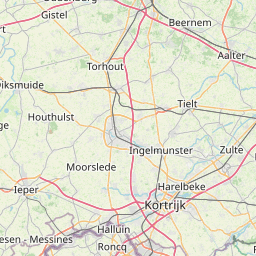
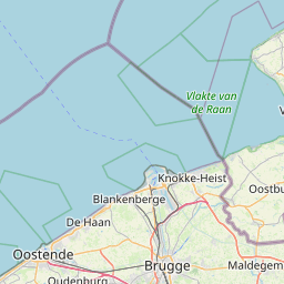
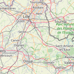
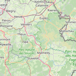
Distance Map Between Beringen and Tielt
Beringen, , Belgium ↔ Tielt, , Belgium = 83 miles = 133 km.


How far is it between Beringen and Tielt
Beringen is located in Belgium with (51.0495,5.2261) coordinates and Tielt is located in Belgium with (50.9993,3.3271) coordinates. The calculated flying distance from Beringen to Tielt is equal to 83 miles which is equal to 133 km.
If you want to go by car, the driving distance between Beringen and Tielt is 154.68 km. If you ride your car with an average speed of 112 kilometers/hour (70 miles/h), travel time will be 01 hours 22 minutes. Please check the avg. speed travel time table on the right for various options.
Difference between fly and go by a car is 22 km.
| City/Place | Latitude and Longitude | GPS Coordinates |
|---|---|---|
| Beringen | 51.0495, 5.2261 | 51° 2´ 58.3440'' N 5° 13´ 33.8160'' E |
| Tielt | 50.9993, 3.3271 | 50° 59´ 57.5160'' N 3° 19´ 37.4520'' E |
Estimated Travel Time Between Beringen and Tielt
| Average Speed | Travel Time |
|---|---|
| 30 mph (48 km/h) | 03 hours 13 minutes |
| 40 mph (64 km/h) | 02 hours 25 minutes |
| 50 mph (80 km/h) | 01 hours 56 minutes |
| 60 mph (97 km/h) | 01 hours 35 minutes |
| 70 mph (112 km/h) | 01 hours 22 minutes |
| 75 mph (120 km/h) | 01 hours 17 minutes |
Related Distances from Beringen
| Cities | Distance |
|---|---|
| Beringen to Mechelen | 86 km |
| Beringen to Turnhout | 49 km |
| Beringen to Genk | 30 km |
| Beringen to Boom | 77 km |
| Beringen to Kasterlee | 39 km |
Related Distances to Tielt
| Cities | Distance |
|---|---|
| Oudenaarde to Tielt | 30 km |
| Heist Op Den Berg to Tielt | 130 km |
| Aalter to Tielt | 15 km |
| Brugge to Tielt | 36 km |
| Aalst to Tielt | 61 km |