Distance from Berlin to Schwerin
Distance between Berlin and Schwerin is 181 kilometers (113 miles).
Driving distance from Berlin to Schwerin is 213 kilometers (132 miles).
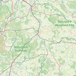
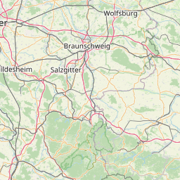
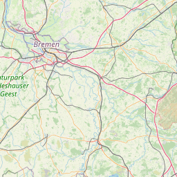
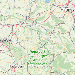
Distance Map Between Berlin and Schwerin
Berlin, Germany ↔ Schwerin, Germany = 113 miles = 181 km.


How far is it between Berlin and Schwerin
Berlin is located in Germany with (52.5244,13.4105) coordinates and Schwerin is located in Germany with (53.6294,11.4132) coordinates. The calculated flying distance from Berlin to Schwerin is equal to 113 miles which is equal to 181 km.
If you want to go by car, the driving distance between Berlin and Schwerin is 213.23 km. If you ride your car with an average speed of 112 kilometers/hour (70 miles/h), travel time will be 01 hours 54 minutes. Please check the avg. speed travel time table on the right for various options.
Difference between fly and go by a car is 32 km.
| City/Place | Latitude and Longitude | GPS Coordinates |
|---|---|---|
| Berlin | 52.5244, 13.4105 | 52° 31´ 27.7320'' N 13° 24´ 37.9080'' E |
| Schwerin | 53.6294, 11.4132 | 53° 37´ 45.7320'' N 11° 24´ 47.3760'' E |
Estimated Travel Time Between Berlin and Schwerin
| Average Speed | Travel Time |
|---|---|
| 30 mph (48 km/h) | 04 hours 26 minutes |
| 40 mph (64 km/h) | 03 hours 19 minutes |
| 50 mph (80 km/h) | 02 hours 39 minutes |
| 60 mph (97 km/h) | 02 hours 11 minutes |
| 70 mph (112 km/h) | 01 hours 54 minutes |
| 75 mph (120 km/h) | 01 hours 46 minutes |
Related Distances from Berlin
| Cities | Distance |
|---|---|
| Berlin to Munich | 587 km |
| Berlin to Hamburg | 287 km |
| Berlin to Hannover | 299 km |
| Berlin to Stuttgart | 631 km |
| Berlin to Dusseldorf | 558 km |
Related Distances to Schwerin
| Cities | Distance |
|---|---|
| Berlin to Schwerin | 213 km |
| Hamburg to Schwerin | 111 km |
| Dusseldorf to Schwerin | 507 km |
| Dresden to Schwerin | 398 km |
| Munich to Schwerin | 759 km |