Distance from Bethany to Kelowna
Distance between Bethany and Kelowna is 543 kilometers (338 miles).
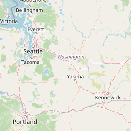
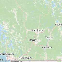
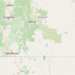
Distance Map Between Bethany and Kelowna
Bethany, Salem, United States ↔ Kelowna, Victoria, Canada = 338 miles = 543 km.


Leaflet | © OpenStreetMap
How far is it between Bethany and Kelowna
Bethany is located in United States with (45.5579,-122.8676) coordinates and Kelowna is located in Canada with (49.8831,-119.4857) coordinates. The calculated flying distance from Bethany to Kelowna is equal to 338 miles which is equal to 543 km.
| City/Place | Latitude and Longitude | GPS Coordinates |
|---|---|---|
| Bethany | 45.5579, -122.8676 | 45° 33´ 28.4040'' N 122° 52´ 3.3600'' W |
| Kelowna | 49.8831, -119.4857 | 49° 52´ 59.0520'' N 119° 29´ 8.4480'' W |
Bethany, Salem, United States
Related Distances from Bethany
| Cities | Distance |
|---|---|
| Bethany to Ontario | 1611 km |
| Bethany to Calgary | 1273 km |
| Bethany to Edmonton | 1564 km |
| Bethany to Vancouver | 521 km |
| Bethany to Burnaby | 515 km |
Kelowna, Victoria, Canada
Related Distances to Kelowna
| Cities | Distance |
|---|---|
| Seattle to Kelowna | 500 km |
| Vancouver 2 to Kelowna | 766 km |
| Coeur D Alene to Kelowna | 457 km |
| Spokane to Kelowna | 424 km |
| Tacoma to Kelowna | 554 km |