Distance from Beverly to Agawam
Distance between Beverly and Agawam is 153 kilometers (95 miles).
Driving distance from Beverly to Agawam is 186 kilometers (116 miles).
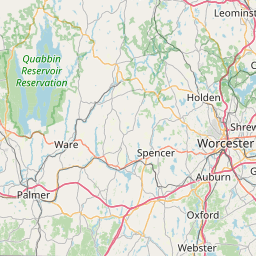
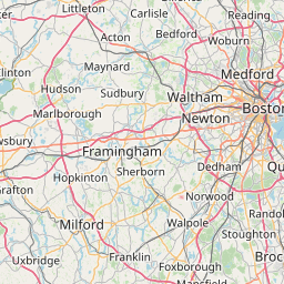
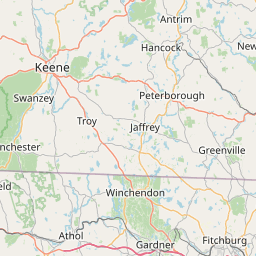
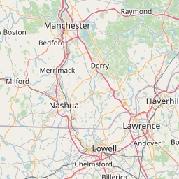
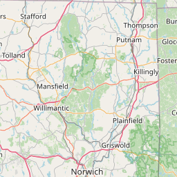
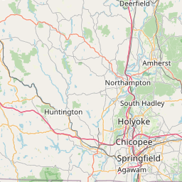
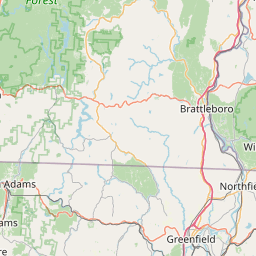
Distance Map Between Beverly and Agawam
Beverly, Boston, United States ↔ Agawam, Boston, United States = 95 miles = 153 km.


How far is it between Beverly and Agawam
Beverly is located in United States with (42.5584,-70.8801) coordinates and Agawam is located in United States with (42.0695,-72.6148) coordinates. The calculated flying distance from Beverly to Agawam is equal to 95 miles which is equal to 153 km.
If you want to go by car, the driving distance between Beverly and Agawam is 185.97 km. If you ride your car with an average speed of 112 kilometers/hour (70 miles/h), travel time will be 01 hours 39 minutes. Please check the avg. speed travel time table on the right for various options.
Difference between fly and go by a car is 33 km.
| City/Place | Latitude and Longitude | GPS Coordinates |
|---|---|---|
| Beverly | 42.5584, -70.8801 | 42° 33´ 30.3480'' N 70° 52´ 48.1800'' W |
| Agawam | 42.0695, -72.6148 | 42° 4´ 10.3440'' N 72° 36´ 53.3160'' W |
Estimated Travel Time Between Beverly and Agawam
| Average Speed | Travel Time |
|---|---|
| 30 mph (48 km/h) | 03 hours 52 minutes |
| 40 mph (64 km/h) | 02 hours 54 minutes |
| 50 mph (80 km/h) | 02 hours 19 minutes |
| 60 mph (97 km/h) | 01 hours 55 minutes |
| 70 mph (112 km/h) | 01 hours 39 minutes |
| 75 mph (120 km/h) | 01 hours 32 minutes |
Related Distances from Beverly
| Cities | Distance |
|---|---|
| Beverly to North Andover | 31 km |
| Beverly to Revere | 32 km |
| Beverly to Belmont 2 | 54 km |
| Beverly to Amesbury | 40 km |
| Beverly to Attleboro | 109 km |
Related Distances to Agawam
| Cities | Distance |
|---|---|
| South Boston to Agawam | 153 km |
| Springfield 2 to Agawam | 6 km |
| Franklin 3 to Agawam | 132 km |
| West Springfield to Agawam | 5 km |
| Northampton 2 to Agawam | 37 km |